The National Geologic Map Database is migrating to a new infrastructure. We apologize for any service disruptions during this process.
|
|---|


- Usage in publication:
-
- Crazy Johnson member
- Modifications:
-
- Original reference
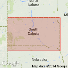
- AAPG geologic province:
-
- Williston basin
Summary:
Pg. 197. Crazy Johnson member of Chadron formation. [White River group not used.] Author previously described unit as "Middle Member" of Chadron (Clark, 1937). Underlies Peanut Peak member (new) and overlies Ahearn member (new); both of Chadron. Fossiliferous. Red-orange color. No other descriptive information included. Age is early Oligocene.
Type locality: at standard section of Chadron formation in Big Badlands on south fork of Indian Creek, Pennington Co., SD, from sec. 34, T. 3 S., R. 12 E., to sec. 10, T. 4 S., R. 12 E. Named from prominent butte in southern part of sec. 10, T. 4 S., R. 12 E., locally known as Crazy Johnson Butte. [Same butte also called Peanut Peak, the name given to the overlying Peanut Peak member of Chadron.]
Source: US geologic names lexicon (USGS Bull. 1200, p. 977-978); supplemental information from GNU records (USGS DDS-6; Denver GNULEX).
For more information, please contact Nancy Stamm, Geologic Names Committee Secretary.
Asterisk (*) indicates published by U.S. Geological Survey authors.
"No current usage" (†) implies that a name has been abandoned or has fallen into disuse. Former usage and, if known, replacement name given in parentheses ( ).
Slash (/) indicates name conflicts with nomenclatural guidelines (CSN, 1933; ACSN, 1961, 1970; NACSN, 1983, 2005, 2021). May be explained within brackets ([ ]).