The National Geologic Map Database is migrating to a new infrastructure. We apologize for any service disruptions during this process.
|
|---|


- Usage in publication:
-
- Crazy Hollow formation
- Modifications:
-
- Named
- Dominant lithology:
-
- Sandstone
- Shale
- AAPG geologic province:
-
- Wasatch uplift
Summary:
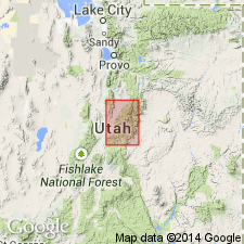
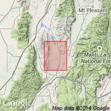
Name provisionally applied to some varicolored rocks above the Green River formation in Crazy Hollow (the type locality) on the south side of Salina Canyon next canyon west of the mouth of Soldier Canyon about 2 1/2 mi from Salina, Sevier Co, UT on Wasatch uplift. Consists of red and orange sandstone, siltstone, and shale. Underlies Gray Gulch formation (provisionally named); upper contact not visible at many places. Is exposed in southwest part of geologic map of report area. Is also exposed at base of Wasatch monocline between Willow and Salina Creeks, in foothills of Wasatch Plateau to west of report area, and in the southern Sanpete Valley. Age not known; probably is late Eocene.
Source: GNU records (USGS DDS-6; Denver GNULEX).
- Usage in publication:
-
- Crazy Hollow formation
- Modifications:
-
- Contact revised
- Overview
- AAPG geologic province:
-
- Wasatch uplift
Summary:
Overlies Green River formation. Upper contact revised in that Crazy Hollow underlies the Bald Knoll formation (first published description) near mouth of Bald Knoll canyon, Sevier Co., UT on the Wasatch uplift. Exposures of Crazy Hollow are limited to the central Sevier Valley and southern Sanpete Valley. Geologic map. Cross section. Consists of shale, sandstone, limestone of fresh-water origin and is about 1,000 ft thick in report area. Shale, the predominant lithology, is gray, lavender, purple. Sandstone interbeds rarely exceed 20 ft thick are brown, red, gray, white, fine- to coarse-grained. The white sandstone is poorly cemented. Some of the sandstone is cross-bedded. Some conglomerate with chert pebbles that average less than one-and one-half inches in diameter present at base. Conglomerate may be 10 ft thick. Bone fragments (not identifiable) and a few mollusks found. Age assignment determined on basis of stratigraphic position. Considered late Eocene or Oligocene, but most likely late Eocene.
Source: GNU records (USGS DDS-6; Denver GNULEX).
- Usage in publication:
-
- Crazy Hollow Formation
- Modifications:
-
- Overview
- Revised
- AAPG geologic province:
-
- Wasatch uplift
Summary:
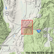
Mapped. Exposed in southern part of quad, in south-central part where it strikes north, and in northeast part where it strikes northeast. In Aurora quad (UGMS Map 112) Crazy Hollow is best exposed in west-central part of quad. Both quads are in Sevier Co, UT, Wasatch uplift. Consists primarily of brownish-red and orangish-red and, to a lesser extent, medium-gray and light yellowish-gray sandstone, mudstone, and siltstone. Sandstone has a "salt and pepper" texture. Generally has a basal conglomerate with distinctive dark gray to black chert pebbles with diameter of 0.5-2 in. Depositional thickness is 600-800 ft in Salina quad. In most areas disconformably overlies Green River Formation, though in some areas units interfinger. Revised in that overlying formation of Aurora is gradational. Assigned late Eocene age.
Source: GNU records (USGS DDS-6; Denver GNULEX).
For more information, please contact Nancy Stamm, Geologic Names Committee Secretary.
Asterisk (*) indicates published by U.S. Geological Survey authors.
"No current usage" (†) implies that a name has been abandoned or has fallen into disuse. Former usage and, if known, replacement name given in parentheses ( ).
Slash (/) indicates name conflicts with nomenclatural guidelines (CSN, 1933; ACSN, 1961, 1970; NACSN, 1983, 2005, 2021). May be explained within brackets ([ ]).