

- Usage in publication:
-
- Crater Island Quartz Monzonite*
- Modifications:
-
- Named
- Geochronologic dating
- Dominant lithology:
-
- Quartz monzonite
- AAPG geologic province:
-
- Great Basin province
Summary:
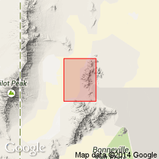
Named for Crater Island. Type locality is exposures in sec.34 T4N R17W, Crater Island 7.5' quad, Box Elder Co, UT. Occurs in south Crater Island. Consists of main quartz monzonite phase (underlying about 5 sq mi) and less-extensive monzodiorite phase. Main phase contains medium- to coarse-grained, biotite-hornblende quartz monzonite to monzogranite that is light-grayish pink. Less-extensive phase contains dark-gray, medium- to coarse-grained, biotite-augite monzodiorite to monzonite. Translational phase consists of dark-gray, medium-grained, biotite-hornblende quartz monzodiorite. Intruded by dikes. Quartz monzonite sample gave K-Ar age of 143 +/-3 Ma (Armstrong and Suppe, 1973). Nakata and others (in press) reported 152.2 +/-3.9 Ma. Age is considered Jurassic.
Source: GNU records (USGS DDS-6; Menlo GNULEX).
For more information, please contact Nancy Stamm, Geologic Names Committee Secretary.
Asterisk (*) indicates published by U.S. Geological Survey authors.
"No current usage" (†) implies that a name has been abandoned or has fallen into disuse. Former usage and, if known, replacement name given in parentheses ( ).
Slash (/) indicates name conflicts with nomenclatural guidelines (CSN, 1933; ACSN, 1961, 1970; NACSN, 1983, 2005, 2021). May be explained within brackets ([ ]).