- Usage in publication:
-
- Crab Orchard shales
- Modifications:
-
- Named
- Dominant lithology:
-
- Shale
- AAPG geologic province:
-
- Cincinnati arch
Summary:
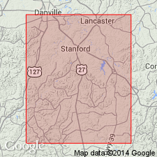
Crab Orchard shales. Soft clay shales, 16 to 40 feet thick in Garrard and Lincoln Counties. Are blue, black, olive, and brownish red; weather gray, white and sometimes green; contain few thin limestones. Included in Clinton(?) group. Overlie buff Medina sandstone (35 feet thick) and underlie Corniferous limestones (Devonian). Age is Silurian (Niagaran).
Named because they are the shales from which the celebrated Crab Orchard salts are manufactured. Town of Crab Orchard is in Lincoln Co., central KY.
Source: US geologic names lexicon (USGS Bull. 896, p. 536-537).
- Usage in publication:
-
- Crab Orchard division
- Modifications:
-
- Revised
- AAPG geologic province:
-
- Cincinnati arch
Summary:
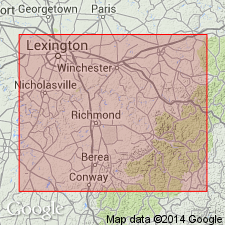
Crab Orchard division. Chiefly clay shale, 110 to 180 feet thick. Divided into Alger and Indian Fields formations. Includes all Silurian strata of east-central Kentucky above Brassfield limestone. [Appears to correspond in a general way to Crab Orchard shales of Linney [1882, Kentucky Geol. Survey Repts. on Garrard and Lincoln Counties].]
Source: US geologic names lexicon (USGS Bull. 896, p. 536-537).
- Usage in publication:
-
- Crab Orchard Formation*
- Modifications:
-
- Revised
- Age modified
- AAPG geologic province:
-
- Cincinnati arch
Summary:
Revised to Crab Orchard Formation. Divided informally into upper and lower parts. Base not exposed. Underlies Bisher Limestone. Age refined to Early and Middle Silurian.
Source: GNU records (USGS DDS-6; Reston GNULEX).
- Usage in publication:
-
- Crab Orchard Group
- Modifications:
-
- Revised
- AAPG geologic province:
-
- Cincinnati arch
Summary:
Raised in rank to Crab Orchard Group. Composed of Noland Formation (new) and overlying Estill Shale. Includes rocks above Brassfield Formation and below Bisher Formation.
Source: GNU records (USGS DDS-6; Reston GNULEX).
- Usage in publication:
-
- Crab Orchard Formation*
- Crab Orchard Shale*
- Modifications:
-
- Revised
- AAPG geologic province:
-
- Cincinnati arch
Summary:
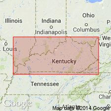
Used as both Crab Orchard Formation and Crab Orchard Shale on this map. [See McDowell (1983) for superceded usage.]
Source: GNU records (USGS DDS-6; Reston GNULEX).
- Usage in publication:
-
- Crab Orchard Group*
- Modifications:
-
- Revised
- Reference
- Overview
- AAPG geologic province:
-
- Cincinnati arch
Summary:
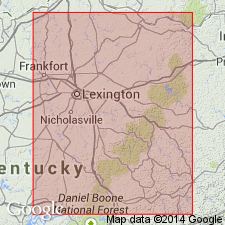
Revised to Crab Orchard Group. Includes all Silurian rocks below Bisher Dolomite in Kentucky, east of Cincinnati Arch. Replaces Brassfield Dolomite and Crab Orchard Formation as used by McDowell and others (1981) on Kentucky State Geologic Map and as used in many USGS geologic quadrangle maps. In Bath County and to the south, includes basal Drowning Creek Formation (new) with its Brassfield Member (rank reduced), Plum Creek Shale Member (reassigned), and Oldham Member (reassigned), and upper Alger Shale with its Lulbegrud Member, Waco member, and Estill Shale member (all reassigned). North of Bath County, Crab Orchard Group consists of basal Drowning Creek Formation with its Brassfield Member and Dayton Dolomite Member (formalized) and an upper Estill Shale (rank raised).
Reference section for Crab Orchard Group: along U.S. Highway 150 just east of Cedar Creek, 2.5 mi west of Crab Orchard village, Crab Orchard quadrangle, Lincoln Co., central KY.
Source: GNU records (USGS DDS-6; Reston GNULEX).
For more information, please contact Nancy Stamm, Geologic Names Committee Secretary.
Asterisk (*) indicates published by U.S. Geological Survey authors.
"No current usage" (†) implies that a name has been abandoned or has fallen into disuse. Former usage and, if known, replacement name given in parentheses ( ).
Slash (/) indicates name conflicts with nomenclatural guidelines (CSN, 1933; ACSN, 1961, 1970; NACSN, 1983, 2005, 2021). May be explained within brackets ([ ]).

