- Usage in publication:
-
- Cox Ranch oil shale bed
- Modifications:
-
- Named
- Dominant lithology:
-
- Oil-shale
- Limestone
- AAPG geologic province:
-
- Central Montana uplift
Summary:
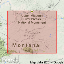
Named as an informal unit, a bed in the interbedded shale and limestone unit in the middle part of the "Forestgrove member" (new, informal) [see Forestgrove member] of the Heath Formation. Named for Cox Ranch, T14N, R21E, Fergus Co, MT on the Central Montana uplift. No type locality designated. Is a 3.4 to 10.5 ft thick oil and metal-rich fossiliferous black shale interbedded with black fossiliferous limestone. Shale may be calcareous, pyritic. Limestone may be laminated. Upper and lower contacts are arbitrarily placed at top and base of interval that has a Fischer-assay oil yield of 7.5 or more gal per short ton [may not be feasible boundaries for geologic field mapping]. May extend over a larger area than study area. Recognized over 120 sq mi. Contains brachiopods. Of Mississippian age. Geologic map. Stratigraphic diagram. Measured sections.
Source: GNU records (USGS DDS-6; Denver GNULEX).
For more information, please contact Nancy Stamm, Geologic Names Committee Secretary.
Asterisk (*) indicates published by U.S. Geological Survey authors.
"No current usage" (†) implies that a name has been abandoned or has fallen into disuse. Former usage and, if known, replacement name given in parentheses ( ).
Slash (/) indicates name conflicts with nomenclatural guidelines (CSN, 1933; ACSN, 1961, 1970; NACSN, 1983, 2005, 2021). May be explained within brackets ([ ]).

