- Usage in publication:
-
- Cow Hollow Bed
- Modifications:
-
- Named
- Dominant lithology:
-
- Shale
- Marlstone
- Sandstone
- AAPG geologic province:
-
- Green River basin
Summary:
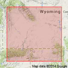
Named as the upper bed of Laney Member of Green River Formation for exposures along Cow Hollow Creek in T21N, R113W, Cow Hollow 7 1/2 min quad, Lincoln Co, WY in Greater Green River basin. No type locality designated. Is a persistent lacustrine unit, 30-50 ft thick. Crops out in vicinity of Hams Fork and west to escarpment of Whiskey Basin to Big Island-Blue Rim area. Consists of buff-weathering shale, marlstone, sandstone, and siltstone. Thickens south from Hams Fork. Merges with main body of Laney. Overlies and intertongues with Whiskey Butte Bed (new) of Laney. Intertongues with and underlies main body of Wasatch Formation. Of Eocene age. Geologic map. Cross sections.
Source: GNU records (USGS DDS-6; Denver GNULEX).
For more information, please contact Nancy Stamm, Geologic Names Committee Secretary.
Asterisk (*) indicates published by U.S. Geological Survey authors.
"No current usage" (†) implies that a name has been abandoned or has fallen into disuse. Former usage and, if known, replacement name given in parentheses ( ).
Slash (/) indicates name conflicts with nomenclatural guidelines (CSN, 1933; ACSN, 1961, 1970; NACSN, 1983, 2005, 2021). May be explained within brackets ([ ]).

