

- Usage in publication:
-
- Cow Bayou member
- Modifications:
-
- Overview
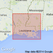
- AAPG geologic province:
-
- Arkla basin
Summary:
Pg. 13, 14. Cow Bayou member of Logansport formation. Named in a stratigraphic summary of Louisiana lignite district. Name credited to G. Murray, Jr. Age is Paleocene.
Source: US geologic names lexicon (USGS Bull. 1200, p. 961).
- Usage in publication:
-
- Cow Bayou member
- Modifications:
-
- Principal reference
- Dominant lithology:
-
- Shale
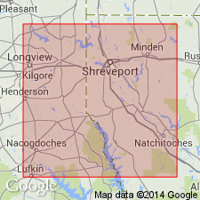
- AAPG geologic province:
-
- Arkla basin
Summary:
Pg. 48 (fig. 2), 57. Cow Bayou member of Logansport formation. Consists of carbonaceous to lignitic shale of a cyclic pattern; typical facies best developed in and around type locality. Average thickness 75 to 100 feet. Underlies Lime Hill member; overlies Dolet Hills member; both upper and lower contacts are transitional, the transition taking place through 5 to 15 feet of section. Type locality designated. [Age is] Paleocene.
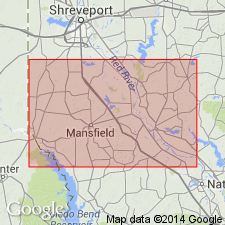
Type locality: along Cow Bayou, in SE/4 sec. 9, and in NW/4 sec. 16, T. 10 N., R. 14 W., De Soto Parish, northwestern LA, approx. 3 mi southeast of Hunter on road to Converse.
Source: US geologic names lexicon (USGS Bull. 1200, p. 961).
- Usage in publication:
-
- Cow Bayou member
- Modifications:
-
- Areal extent
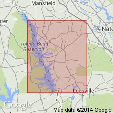
- AAPG geologic province:
-
- Arkla basin
Summary:
Pg. 110-116, pl. 10. Cow Bayou member of Logansport formation. Consists of two facies Benson (lower) and Lulu. Geographically extended into Panola County, Texas. [Report includes geologic maps.]
Source: US geologic names lexicon (USGS Bull. 1200, p. 961).
- Usage in publication:
-
- Cow Bayou formation
- Modifications:
-
- Revised
- AAPG geologic province:
-
- Arkla basin
Summary:
Pg. 54-55. Cow Bayou formation of Wilcox group. Formation, in Sabine Parish [this report], consists of interbedded silts, shales, and fine-grained sands. Present only in subsurface. Overlies Dolet Hills formation. Underlies Converse formation (new) which includes sand occupying valleys of Pleasant Hill oil field mapped by Murray (1948) as Cow Bayou member of Logansport. Term Logansport eliminated as members are given formational rank. Wilcox group.
Source: US geologic names lexicon (USGS Bull. 1200, p. 961).
For more information, please contact Nancy Stamm, Geologic Names Committee Secretary.
Asterisk (*) indicates published by U.S. Geological Survey authors.
"No current usage" (†) implies that a name has been abandoned or has fallen into disuse. Former usage and, if known, replacement name given in parentheses ( ).
Slash (/) indicates name conflicts with nomenclatural guidelines (CSN, 1933; ACSN, 1961, 1970; NACSN, 1983, 2005, 2021). May be explained within brackets ([ ]).