The National Geologic Map Database is migrating to a new infrastructure. We apologize for any service disruptions during this process.
|
|---|


- Usage in publication:
-
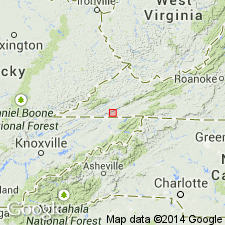
- Cove Creek limestone
- Modifications:
-
- Named
- Dominant lithology:
-
- Limestone
- Sandstone
- AAPG geologic province:
-
- Appalachian basin
Summary:
Named the Cove Creek limestone for Cove Creek, Scott Co., southwestern VA. Consists of predominantly argillaceous limestone, like underlying limestone of Gasper, Ste. Genevieve, and Warsaw limestones. Thickness is 1,003 feet. Generally unfossiliferous, but one fossiliferous bed 5 to 10 feet thick, occurs at base and a few fossils occur higher up. Lower 500 feet has considerable proportion of fairly pure limestone. Includes some coarse-grained crinoidal limestone and one bed of red sandstone. Overlies Fido sandstone and underlies Pennington shale. The Cove Creek is of Mississippian age.
Source: GNU records (USGS DDS-6; Reston GNULEX).
- Usage in publication:
-
- Cove Creek Formation
- Modifications:
-
- Areal extent
- Revised
- AAPG geologic province:
-
- Appalachian basin
Summary:
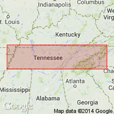
Geographically extended the Cove Creek into northeastern TN and revised it to Cove Creek Formation because it contains calcareous sandstone. Lower part is a gray argillaceous limestone with sandy laminae and fossils; middle part is a gray fine-grained calcareous sandstone and calcarenite; upper part is a gray argillaceous limestone. Thickness is 110 to 115 meters. Overlies Fido Sandstone and underlies Pennington Formation. Cove Creek is of Mississippian age.
Source: GNU records (USGS DDS-6; Reston GNULEX).

- Usage in publication:
-
- Cove Creek Limestone
- Modifications:
-
- Overview
- AAPG geologic province:
-
- Appalachian basin
Summary:
The Cove Creek Limestone is mapped with the underlying Fido Sandstone on the geologic map of Virginia. Consists of argillaceous, light-gray to greenish-gray, thin- to thick-bedded, sparsely fossiliferous limestone with thin, brownish laminae. Thin beds and zones of medium- to coarse-grained, calcareous sandstone occur locally. Thickness ranges from 1,010 to 1,220 feet. Underlies Bluefield Formation.
Source: GNU records (USGS DDS-6; Reston GNULEX).
For more information, please contact Nancy Stamm, Geologic Names Committee Secretary.
Asterisk (*) indicates published by U.S. Geological Survey authors.
"No current usage" (†) implies that a name has been abandoned or has fallen into disuse. Former usage and, if known, replacement name given in parentheses ( ).
Slash (/) indicates name conflicts with nomenclatural guidelines (CSN, 1933; ACSN, 1961, 1970; NACSN, 1983, 2005, 2021). May be explained within brackets ([ ]).