- Usage in publication:
-
- Coutchiching Group*
- Modifications:
-
- Areal extent
- AAPG geologic province:
-
- Lake Superior region
Summary:
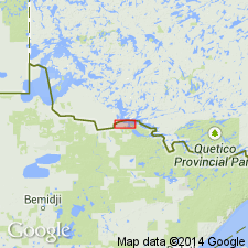
Extended from ON, CN into MN part of Rainy Lake area within western extension of Wabigoon subprovince of Superior Province (Lake Superior region). As area is highly deformed, stratigraphic relations cannot be extended for more than a few km along strike. Consists mostly of graywacke, pelite and minor amphibolite which have undergone regional metamorphism. Overlies Keewatin Group; is older than intrusive rocks. Is part of Late Archean (2.7 Ga) granite-greenstone belt in Rainy Lake area.
Source: GNU records (USGS DDS-6; Denver GNULEX).
For more information, please contact Nancy Stamm, Geologic Names Committee Secretary.
Asterisk (*) indicates published by U.S. Geological Survey authors.
"No current usage" (†) implies that a name has been abandoned or has fallen into disuse. Former usage and, if known, replacement name given in parentheses ( ).
Slash (/) indicates name conflicts with nomenclatural guidelines (CSN, 1933; ACSN, 1961, 1970; NACSN, 1983, 2005, 2021). May be explained within brackets ([ ]).

