- Usage in publication:
-
- Cottonwood Wash Tuff Member
- Modifications:
-
- Named
- Dominant lithology:
-
- Tuff
- AAPG geologic province:
-
- Great Basin province
Summary:
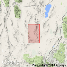
Named as the oldest member (of four members) of Needles Range Formation for exposures where Cottonwood Wash cuts across west side of northeast arm of Needles Range in sec 4, T26S, R18W, Beaver Co, UT in the Great Basin province. This is the type locality. Was called "gross biotite" unit in earlier reports. Is characterized by large books of biotite commonly 6 mm across. Amphibole not conspicuous in hand specimen. At least one or two large embayed or broken glassy quartz phenocrysts readily found in most hand specimens. Flattened lapilli and blocks of pumice present in lower part. Locally has a basal gray vitrophyre. Tuff is medium red-brown, moderately welded and compacted. The massive fabrics abundance of large phenocrysts, especially plagioclase, gives the unit a granite-like texture. Top 11 ft of member is pink, soft, and porous. Overlies unnamed andesite conglomerate at type. Overlain by Wah Wah Springs Tuff Member of Needles Range Formation. Geologic map. Columnar section of type where member is 288 ft thick. Of middle Tertiary age.
Source: GNU records (USGS DDS-6; Denver GNULEX).
- Usage in publication:
-
- Cottonwood Wash Tuff Member*
- Modifications:
-
- Adopted
- Areal extent
- AAPG geologic province:
-
- Great Basin province
Summary:
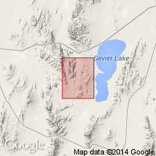
Cottonwood Wash Tuff Member is adopted as the lowest member of the Needles Range Formation, and is geographically extended into The Barn 15' quad. Age is Tertiary.
Source: GNU records (USGS DDS-6; Menlo GNULEX).
- Usage in publication:
-
- Cottonwood Wash Tuff*
- Modifications:
-
- Mapped 1:24k
- Dominant lithology:
-
- Dacite
- AAPG geologic province:
-
- Great Basin province
Summary:
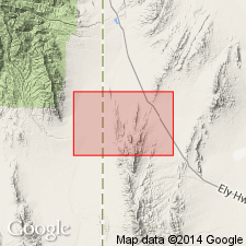
Is mapped as upper formation (of two) of Needles Range Group (Oligocene) in northern part of the Mountain Home Range in western Millard Co, southwestern UT (Great Basin province). Overlies Escalante Desert Formation of needles Range Group. Is youngest bedrock unit mapped in study area. Map unit described as moderately welded, pink to gray, crystal-rich dacite ash-flow tuff containing abundant phenocrysts of plagioclase (25 percent), biotite in books as much as 7 mm in diameter (6 percent), hornblende (4 percent, as seen with 10x hand lens), quartz (4 percent), Fe-Ti oxide (1 percent). Largest remnant mass about 70 m thick.
Source: GNU records (USGS DDS-6; Denver GNULEX).
- Usage in publication:
-
- Cottonwood Wash Tuff*
- Modifications:
-
- Revised
- Geochronologic dating
- Areal extent
- AAPG geologic province:
-
- Great Basin province
Summary:
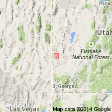
Raised in stratigraphic rank from Cottonwood Tuff Member, Needles Range Formation to Cottonwood Wash Tuff, Needles Range Group (raised in rank). Present areal extent in Great Basin province, southwest UT and east-central NV shown on map. Covered an area of about 5,000 sq km and had a volume of 500 cubic km. Source unknown; may have been from area west of UT-NV State line. Has an average age of 30.6 m.y. (or Oligocene) based on four K-Ar determinations. Stratigraphic chart.
Source: GNU records (USGS DDS-6; Denver GNULEX).
- Usage in publication:
-
- Cottonwood Wash Tuff*
- Modifications:
-
- Mapped 1:24k
- Dominant lithology:
-
- Tuff
- Sandstone
- AAPG geologic province:
-
- Great Basin province
Summary:
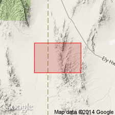
Is Oligocene formation mapped in southern part of Mountain Home Range in western Millard and Beaver Cos, southwest UT (Great Basin province) and with small outliers in eastern Lincoln Co, NV. Is second of four (ascending) formations of Needles Range Group (Oligocene) mapped in study area. Overlies Escalante Desert Formation and is overlain by Wah Wah Springs Formation, both of Needles Range Group. Map unit described as ranging from pink, porous, weakly welded tuff at top of unit to compact, strongly welded, reddish-brown, slightly devitrified tuff throughout most of formation. A gray speckled vitrophyre as thick as 20 m is generally present near the base. Phenocrysts include plagioclase (25%), biotite, in books up to 7 mm in diameter (6%), hornblende (4%, visible with 10x hand lens), quartz (4%), Fe-Ti oxides (1%), and green pyroxene (trace). Normal magnetic polarity. In section 12, T26S, R12W, includes 15 m of pale-brown, well-sorted medium-grained sandstone that occurs locally here at top of formation. Thickness ranges from 275 to 400 m.
Source: GNU records (USGS DDS-6; Denver GNULEX).
For more information, please contact Nancy Stamm, Geologic Names Committee Secretary.
Asterisk (*) indicates published by U.S. Geological Survey authors.
"No current usage" (†) implies that a name has been abandoned or has fallen into disuse. Former usage and, if known, replacement name given in parentheses ( ).
Slash (/) indicates name conflicts with nomenclatural guidelines (CSN, 1933; ACSN, 1961, 1970; NACSN, 1983, 2005, 2021). May be explained within brackets ([ ]).

