The National Geologic Map Database is migrating to a new infrastructure. We apologize for any service disruptions during this process.
|
|---|


- Usage in publication:
-
- Cottonwood beds
- Modifications:
-
- Original reference
- AAPG geologic province:
-
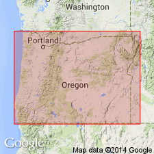
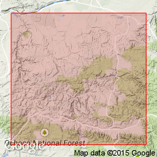
- Snake River basin
Summary:
Pg. 23. Cottonwood beds. Gave (in table) a column headed "John Day R., Oregon, Wortman, 1880," under which appears Cottonwood beds (PROTOLABIS), shown older than Loup Fork of Llano Estacado, Texas, and as younger than John Day. Age is Miocene.
[Recognized in John Day region, central northern OR.]
Source: US geologic names lexicon (USGS Bull. 896, p. 530).
- Usage in publication:
-
- Cottonwood beds†
- Modifications:
-
- Abandoned
- AAPG geologic province:
-
- Snake River basin
Summary:
†Cottonwood beds. Replaced Cottonwood beds (preoccupied) with Mascall formation, and stated that at Rattlesnake Creek, near Cottonwood, the Mascall is not less than 800 to 1,000 feet thick.
Source: US geologic names lexicon (USGS Bull. 896, p. 530).
- Usage in publication:
-
- Cottonwood (Loup Fork) formation
- Modifications:
-
- Areal extent
- AAPG geologic province:
-
- Snake River basin
Summary:
Pg. 72. In a description of rocks of John Day basin used Cottonwood (Loup Fork) formation, nearly 1,000 feet thick, unconformably underlying Rattlesnake formation and overlying Columbia [River] lava. Age is Miocene.
Source: US geologic names lexicon (USGS Bull. 896, p. 530).
For more information, please contact Nancy Stamm, Geologic Names Committee Secretary.
Asterisk (*) indicates published by U.S. Geological Survey authors.
"No current usage" (†) implies that a name has been abandoned or has fallen into disuse. Former usage and, if known, replacement name given in parentheses ( ).
Slash (/) indicates name conflicts with nomenclatural guidelines (CSN, 1933; ACSN, 1961, 1970; NACSN, 1983, 2005, 2021). May be explained within brackets ([ ]).