The National Geologic Map Database is migrating to a new infrastructure. We apologize for any service disruptions during this process.
|
|---|


- Usage in publication:
-
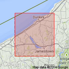
- Corells Point Goniatite Bed
- Modifications:
-
- Overview
- AAPG geologic province:
-
- Appalachian basin
Summary:
Unit encompasses two regionally mappable levels of calcareous septarian concretions. At least two, laterally discontinuous beds rich in pyrite nodules and locally abundant pyritized cephalopod steinkerns can be traced within the lower septarian concretion zone. Goniatites included CHEILOCERAS AMBLYLOBUM, TORNOCERAS CONCENTRICUM, and AULATORNOCERAS BICOSTATUM. These belong in the Famennian. The history of this unit is complex and the presence of so many fossils at this level is suggestive of an episode of increased bottom oxygenation and reduced average turbidity. The unit is believed to be traceable as far to the northeast as Holland, Erie Co., and the south branch of Cattaraugus Creek east of Dayton.
Source: GNU records (USGS DDS-6; Reston GNULEX).
For more information, please contact Nancy Stamm, Geologic Names Committee Secretary.
Asterisk (*) indicates published by U.S. Geological Survey authors.
"No current usage" (†) implies that a name has been abandoned or has fallen into disuse. Former usage and, if known, replacement name given in parentheses ( ).
Slash (/) indicates name conflicts with nomenclatural guidelines (CSN, 1933; ACSN, 1961, 1970; NACSN, 1983, 2005, 2021). May be explained within brackets ([ ]).