

- Usage in publication:
-
- Copps Formation*
- Modifications:
-
- Revised
- AAPG geologic province:
-
- Lake Superior region
Summary:
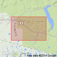
Adopted for area in eastern end of Gogebic Range, northwest MI in Lake Superior region. Previous reference to unit is Copps Formation of Allen and Barrett (1915). Copps revised in that it is underlain by interbedded Emperor Volcanic Complex (new) and Ironwood Iron-formation. Overlain by Palms Formation. Is Precambrian X in age.
Source: GNU records (USGS DDS-6; Reston GNULEX).
- Usage in publication:
-
- Copps Formation*
- Modifications:
-
- Areal extent
- AAPG geologic province:
-
- Lake Superior region
Summary:
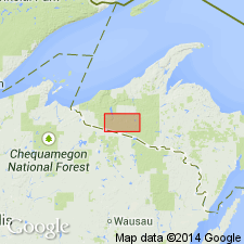
Pg. A4-A5 (fig. 2), A7 (fig. 3), A8 (tbl. 1), A22, A24. Copps Formation of Baraga Group of Marquette Range Supergroup. Metagraywacke and slate. Exposed in western outcrop of Marenisco-Watersmeet area, Northern Peninsula, Michigan. Overlies Blair Creek Formation (new) of Marquette Range Supergroup. Correlative with Michigamme Formation of Baraga Group of Marquette Range Supergroup, exposed in eastern outcrop. Age is Early Proterozoic (2,500 to 1,600 Ma).
Source: Publication.
For more information, please contact Nancy Stamm, Geologic Names Committee Secretary.
Asterisk (*) indicates published by U.S. Geological Survey authors.
"No current usage" (†) implies that a name has been abandoned or has fallen into disuse. Former usage and, if known, replacement name given in parentheses ( ).
Slash (/) indicates name conflicts with nomenclatural guidelines (CSN, 1933; ACSN, 1961, 1970; NACSN, 1983, 2005, 2021). May be explained within brackets ([ ]).