The National Geologic Map Database is migrating to a new infrastructure. We apologize for any service disruptions during this process.
|
|---|


- Usage in publication:
-
- Copper Mountain Quartzite
- Modifications:
-
- Named
- Dominant lithology:
-
- Quartzite
- AAPG geologic province:
-
- Great Basin province
Summary:
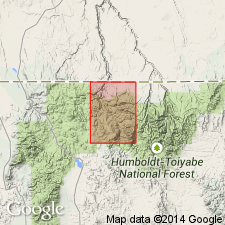
Pg. 12 (table 2), footnote. Table 2 credited to E.C. Stephens (1946, unpub. rept.). Copper Mountain Quartzite has maximum thickness of 2,500 feet. Consists of massive light-colored quartzite with some cross-bedding. Overlies Crosby Formation. Underlies Copper King Shale. Nolan (1937, USGS open-file rept.) believed the Copper Mountain Quartzite was thrust over the Copper King Shale. Age is Paleozoic.
["Type area"] is near Rio Tinto Mine in Mountain City quadrangle, Elko Co., northern NV.
Source: US geologic names lexicon (USGS Bull. 1350, p. 173); GNC index card files (USGS-Menlo).
For more information, please contact Nancy Stamm, Geologic Names Committee Secretary.
Asterisk (*) indicates published by U.S. Geological Survey authors.
"No current usage" (†) implies that a name has been abandoned or has fallen into disuse. Former usage and, if known, replacement name given in parentheses ( ).
Slash (/) indicates name conflicts with nomenclatural guidelines (CSN, 1933; ACSN, 1961, 1970; NACSN, 1983, 2005, 2021). May be explained within brackets ([ ]).