The National Geologic Map Database is migrating to a new infrastructure. We apologize for any service disruptions during this process.
|
|---|


- Usage in publication:
-
- Cooney Canyon Member*
- Modifications:
-
- Named
- Geochronologic dating
- Dominant lithology:
-
- Tuff
- AAPG geologic province:
-
- Basin-and-Range province
Summary:
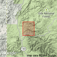
Named Cooney Canyon Member, upper member of Cooney Tuff. Is a rhyolitic to quartz latitic ash-flow tuff, about 200 m thick in Cooney Canyon, and 400 to 500 m thick on north side of Whitewater Creek. Consists of multiple simple and compound cooling units. Tuff vary from partially welded to densely welded. Some cooling units separated by a few meters of volcaniclastic sandstone. Tuff units are petrographically variable, 25 to 45 percent phenocrysts, 1 to 3 m diameter of oligoclase-andesite, minor biotite, and opaque oxide, and rare clinopyroxene, zircon, and oxyhornblende in a devitrified cryptocrystalline matrix. Overlies Whitewater Creek Member of Cooney Tuff; underlies various unnamed volcanic rocks. Replaces upper quartz latitic member of Cooney Tuff of Ratte and Finnell (1978). Age is Oligocene, based on K-Ar (on biotite) age of 32 +/- 1.5 m.y.
Type section in sec. 20, T. 10 S., R. 19 W. Named from Cooney Canyon, Mogollon quadrangle, Catron Co., NM, [Basin-and-Range provinvce].
Source: GNU records (USGS DDS-6; Denver GNULEX).
- Usage in publication:
-
- Cooney Canyon Member*
- Modifications:
-
- Geochronologic dating
- AAPG geologic province:
-
- Basin-and-Range province
Summary:
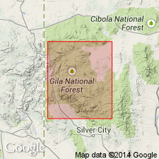
Has yielded a 33.1 +/-1.5 m.y. age (biotite), [or Oligocene] in the Basin-and-Range province.
Source: GNU records (USGS DDS-6; Denver GNULEX).
For more information, please contact Nancy Stamm, Geologic Names Committee Secretary.
Asterisk (*) indicates published by U.S. Geological Survey authors.
"No current usage" (†) implies that a name has been abandoned or has fallen into disuse. Former usage and, if known, replacement name given in parentheses ( ).
Slash (/) indicates name conflicts with nomenclatural guidelines (CSN, 1933; ACSN, 1961, 1970; NACSN, 1983, 2005, 2021). May be explained within brackets ([ ]).