The National Geologic Map Database is migrating to a new infrastructure. We apologize for any service disruptions during this process.
|
|---|


- Usage in publication:
-
- Cook Ranch formation
- Modifications:
-
- Not used
Summary:
Cook Ranch formation not used. Rocks formerly assigned to Cook Ranch are included in upper part of the Sage Creek formation as revised in this report.
Source: GNU records (USGS DDS-6; Denver GNULEX).
- Usage in publication:
-
- Cook Ranch formation, volcanics, rhyolites
- Modifications:
-
- Revised
- AAPG geologic province:
-
- Montana folded belt
Summary:
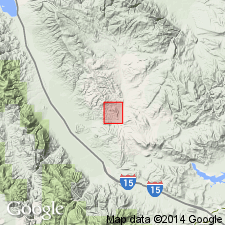
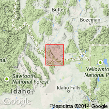
Names Cook Ranch rhyolites and Cook Ranch volcanics applied to some pink and buff rhyolitic lava flows and some volcanic tuff and white, acidic volcanic breccia and volcanic ash associated with and intercalated with the Cook Ranch formation. The rhyolites are mapped on the southwest side of the Blacktail Range; the volcanics are present at the south end of the Red Rock Mountains; these areas are in Beaverhead Co, MT in the Montana folded belt province. The rhyolites in thin section have a glassy groundmass with unoriented phenocrysts of sanidine, albite, corroded biotite, and quartz (locally embayed). Accessory minerals include magnetite and apatite. Most of the flows are resistant to erosion. Tuffaceous beds are resistant only where silicified. Cook Ranch formation is extensively exposed in the Red Rock Mountains where clays, sandstones, and conglomerates 125 to 1,000+ ft are found. Assigned an Oligocene age; is younger than the Eocene Sage Creek formation and older than the Muddy Creek beds or volcanics (first used). Stratigraphic table.
Source: GNU records (USGS DDS-6; Denver GNULEX).
For more information, please contact Nancy Stamm, Geologic Names Committee Secretary.
Asterisk (*) indicates published by U.S. Geological Survey authors.
"No current usage" (†) implies that a name has been abandoned or has fallen into disuse. Former usage and, if known, replacement name given in parentheses ( ).
Slash (/) indicates name conflicts with nomenclatural guidelines (CSN, 1933; ACSN, 1961, 1970; NACSN, 1983, 2005, 2021). May be explained within brackets ([ ]).