The National Geologic Map Database is migrating to a new infrastructure. We apologize for any service disruptions during this process.
|
|---|


- Usage in publication:
-
- Conway schist*
- Modifications:
-
- Named
- Dominant lithology:
-
- Schist
- AAPG geologic province:
-
- New England province
Summary:
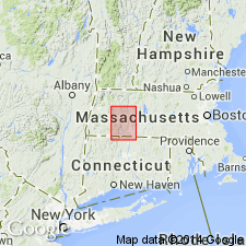
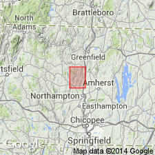
Named the Conway schist in western MA, southeastern VT, and southwestern NH for Conway, Franklin Co., MA. Consists of dark graphitic mica schist with biotite, garnet, staurolite, voisite, and many beds of dark impure limestone and sandy quartzite. Thickness is probably 5000 feet. Overlies the Goshen schist and underlies the Leyden argillite. Unit is probably equivalent to the Amherst schist to the east. The Conway is of Silurian(?) age.
Source: GNU records (USGS DDS-6; Reston GNULEX).
- Usage in publication:
-
- Conway formation*
- Modifications:
-
- Revised
- Redescribed
- Dominant lithology:
-
- Schist
- Quartzite
- Marble
- Amphibolite
- Phyllite
- AAPG geologic province:
-
- New England province
Summary:
Revised the Conway to the Conway formation. Redescribed the unit to include in decreasing age four lithologic members: schist-quartzite, schist-marble, amphibolite, and phyllite. The Conway is of Ordovician and Silurian(?) age.
Source: GNU records (USGS DDS-6; Reston GNULEX).
- Usage in publication:
-
- Conway†
- Modifications:
-
- Abandoned
- AAPG geologic province:
-
- New England province
Summary:
Abandoned the Conway Formation and replaced with the Devonian Waits River Formation
Source: GNU records (USGS DDS-6; Reston GNULEX).
For more information, please contact Nancy Stamm, Geologic Names Committee Secretary.
Asterisk (*) indicates published by U.S. Geological Survey authors.
"No current usage" (†) implies that a name has been abandoned or has fallen into disuse. Former usage and, if known, replacement name given in parentheses ( ).
Slash (/) indicates name conflicts with nomenclatural guidelines (CSN, 1933; ACSN, 1961, 1970; NACSN, 1983, 2005, 2021). May be explained within brackets ([ ]).