The National Geologic Map Database is migrating to a new infrastructure. We apologize for any service disruptions during this process.
|
|---|


- Usage in publication:
-
- Continental Granodiorite*
- Modifications:
-
- Named
- Geochronologic dating
- Dominant lithology:
-
- Granodiorite
- Quartz monzonite
- AAPG geologic province:
-
- Southwestern Basin-and-Range region
Summary:
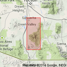
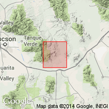
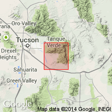
Named for exposures in the hills east of Continental, AZ, in Southwestern Basin-and-Range region. Underlies much of northern part of Santa Rita Mountains. Type area is along Box Canyon in Santa Rita Mountains, Pima Co, AZ, in Sahuarita quad. A coarsely porphyritic granodiorite to quartz monzonite. Ranges from granodiorite to quartz monzonite. Includes numerous small bodies of leucocratic quartz monzonite and aplite. Intrudes gneissic rocks probably correlative with the Pinal Schist. Unconformably overlain by Lower Cretaceous Bisbee formation. The oldest of several radiometric dates is 1,450 +/-160 Ma by lead-alpha method on zircon and the youngest is 800 +/-80 m.y. Rb-Sr on whole rock method. Is assigned a Precambrian age.
Source: GNU records (USGS DDS-6; Denver GNULEX).
- Usage in publication:
-
- Continental Granodiorite*
- Modifications:
-
- Age modified
- AAPG geologic province:
-
- Basin-and-Range province
Summary:
Age of the Continental Granodiorite is Precambrian Y.
Source: GNU records (USGS DDS-6; Menlo GNULEX).
- Usage in publication:
-
- Continental Granodiorite*
- Modifications:
-
- Revised
- AAPG geologic province:
-
- Southwestern Basin-and-Range region
Summary:
Name "Catalina gneiss" changed to Santa Catalina Group to avoid confusion with a named Precambrian unit in CA. Type area is on south side of Santa Catalina Mountains, southern outskirts of Tucson, Pima Co, AZ in Southwestern Basin-and-Range region. These rocks extend into Tortolita Mountains to northwest and Rincon Mountains to southeast. Divided into Pinal Schist of Precambrian X age, Continental Granodiorite and Wrong Mountain Quartz Monzonite of Precambrian Y age. In many areas, granitoid rocks form lit-par-lit sheets into the schist, or younger quartz monzonite into older granodiorite. Rocks have been deformed and recrystallized. Ages of foliation and lineation are unclear. May be as old as Precambrian and as young as Laramide--Late Cretaceous and Paleocene. Term therefore applied to all pre-kinematic and synkinematic rocks of the Mazatzal revolution.
Source: GNU records (USGS DDS-6; Denver GNULEX).
For more information, please contact Nancy Stamm, Geologic Names Committee Secretary.
Asterisk (*) indicates published by U.S. Geological Survey authors.
"No current usage" (†) implies that a name has been abandoned or has fallen into disuse. Former usage and, if known, replacement name given in parentheses ( ).
Slash (/) indicates name conflicts with nomenclatural guidelines (CSN, 1933; ACSN, 1961, 1970; NACSN, 1983, 2005, 2021). May be explained within brackets ([ ]).