- Usage in publication:
-
- Conoy Member
- Modifications:
-
- Named
- Dominant lithology:
-
- Sand
- Silt
- AAPG geologic province:
-
- Atlantic Coast basin
Summary:
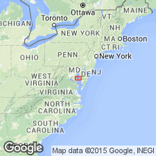
Conoy Member of Choptank Formation named in Calvert Co., MD. Extends to VA. Described as grayish-green to blue, thin-bedded, muddy sand and silt. Thickness ranges from 3 to 5 m. Overlies Boston Cliffs Member of Choptank and unconformably underlies St. Marys Formation. Age is middle Miocene.
Source: GNU records (USGS DDS-6; Reston GNULEX).

- Usage in publication:
-
- Conoy
- Modifications:
-
- Not used
- AAPG geologic province:
-
- Atlantic Coast basin
Summary:
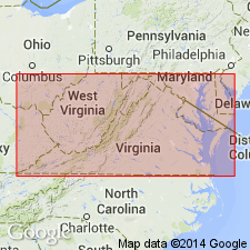
Conoy Member of Choptank Formation of Gernant (1970) not used. Authors prefer term Little Cove Point unit (new, informal name).
Source: GNU records (USGS DDS-6; Reston GNULEX).

- Usage in publication:
-
- Conoy Member*
- Modifications:
-
- Revised
- AAPG geologic province:
-
- Atlantic Coast basin
Summary:
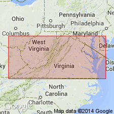
Conoy Member here reallocated to basal part of St. Marys Formation as it is more closely related lithologically and paleontologically to the St. Marys than to the underlying Choptank Formation. Described here as a dusky, grayish-green to dusky, greenish-blue to dusky-blue, very muddy, very fine sand to silt. Thickly spaced, continuous, parallel, thin-bedded laminations are common. Thickness approximately 10 ft. Crops out in Calvert and St. Marys Cos, southeastern MD west of the Chesapeake Bay and in several adjacent cos. in VA. Unit probably present in subsurface in MD east of the Chesapeake Bay and in DE. Age is late middle Miocene.
Source: GNU records (USGS DDS-6; Reston GNULEX).
For more information, please contact Nancy Stamm, Geologic Names Committee Secretary.
Asterisk (*) indicates published by U.S. Geological Survey authors.
"No current usage" (†) implies that a name has been abandoned or has fallen into disuse. Former usage and, if known, replacement name given in parentheses ( ).
Slash (/) indicates name conflicts with nomenclatural guidelines (CSN, 1933; ACSN, 1961, 1970; NACSN, 1983, 2005, 2021). May be explained within brackets ([ ]).

