

- Usage in publication:
-
- Connersville silt
- Modifications:
-
- Named
- Dominant lithology:
-
- Silt
- AAPG geologic province:
-
- Cincinnati arch
Summary:
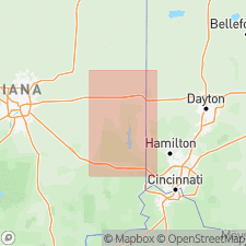
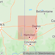
Connersville silt, named in this report, is an interstadial deposit overlying Fayette drift (new). It is considered to represent a climatically controlled retreat interval here named the Connersville interstade. Deposit is recognized and correlated by radiocarbon dates from central IN, across southeastern IN, into southwestern OH. Age is Pleistocene (Wisconsinan).
Source: GNU records (USGS DDS-6; Reston GNULEX).
- Usage in publication:
-
- Connersville Silt
- Modifications:
-
- Overview
- AAPG geologic province:
-
- Cincinnati arch
Summary:
The Connersville silt of southeastern IN and southwestern OH overlies the Fayette till and underlies the Shelbyville drift. The Connersville interstadial is dated at 20,000+/-500 yrs (late Wisconsinan).
Source: GNU records (USGS DDS-6; Reston GNULEX).
For more information, please contact Nancy Stamm, Geologic Names Committee Secretary.
Asterisk (*) indicates published by U.S. Geological Survey authors.
"No current usage" (†) implies that a name has been abandoned or has fallen into disuse. Former usage and, if known, replacement name given in parentheses ( ).
Slash (/) indicates name conflicts with nomenclatural guidelines (CSN, 1933; ACSN, 1961, 1970; NACSN, 1983, 2005, 2021). May be explained within brackets ([ ]).