The National Geologic Map Database is migrating to a new infrastructure. We apologize for any service disruptions during this process.
|
|---|


- Usage in publication:
-
- Conewango formation*
- Modifications:
-
- Named
- Dominant lithology:
-
- Shale
- Sandstone
- Conglomerate
- AAPG geologic province:
-
- Appalachian basin
Summary:
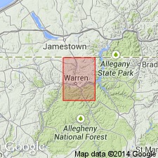
Named for exposures along valley walls and uplands bordering Conewango Creek, south of PA-NY State line. Consists of greenish sandy shale with thin layers of very fine-grained greenish, micaceous, and argillaceous sandstones and conglomerates. Thickness is 550 ft. Underlies Knapp formation; overlies Chemung formation. Includes Salamanca conglomerate member near middle. Marked change in fossils at Conewango-Chemung boundary. Assigned a Devonian and Carboniferous age. Is equivalent to Oswayo and Cattaraugus formations of Olean and Salamanca quads, NY; those formations cannot be differentiated in Warren Co. because of absence of red beds above Salamanca conglomerate. Represents upper part of Catskill formation but differs from it in lithologic and paleontologic character. At base of Conewango in Olean region, NY, is Wolf Creek conglomerate, which appears to lie at about the same horizon as Panama conglomerate.
Source: GNU records (USGS DDS-6; Reston GNULEX).
For more information, please contact Nancy Stamm, Geologic Names Committee Secretary.
Asterisk (*) indicates published by U.S. Geological Survey authors.
"No current usage" (†) implies that a name has been abandoned or has fallen into disuse. Former usage and, if known, replacement name given in parentheses ( ).
Slash (/) indicates name conflicts with nomenclatural guidelines (CSN, 1933; ACSN, 1961, 1970; NACSN, 1983, 2005, 2021). May be explained within brackets ([ ]).