- Usage in publication:
-
- Comanche Peak group
- Modifications:
-
- Original reference
- Dominant lithology:
-
- Limestone
- AAPG geologic province:
-
- Bend arch
Summary:
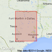
Pg. 583, 584. Comanche Peak group. Fossiliferous, soft, yellowish and whitish chalky limestone and buff and cream-colored limestones of greater or less compactness. Thickness 300 to 400 feet. Underlies Caprina limestone. [Shumard's section of this "group" at Shovel Mountain, Burnett County, shows it included Comanche Peak limestone, Walnut clay, and at least larger part of Trinity formation. Name was later used by R.T. Hill in same sense as Fredericksburg group.]
Source: US geologic names lexicon (USGS Bull. 896, p. 498).
For more information, please contact Nancy Stamm, Geologic Names Committee Secretary.
Asterisk (*) indicates published by U.S. Geological Survey authors.
"No current usage" (†) implies that a name has been abandoned or has fallen into disuse. Former usage and, if known, replacement name given in parentheses ( ).
Slash (/) indicates name conflicts with nomenclatural guidelines (CSN, 1933; ACSN, 1961, 1970; NACSN, 1983, 2005, 2021). May be explained within brackets ([ ]).

