The National Geologic Map Database is migrating to a new infrastructure. We apologize for any service disruptions during this process.
|
|---|


- Usage in publication:
-
- Colvin's Run limestone*
- Modifications:
-
- Named
- Dominant lithology:
-
- Limestone
- AAPG geologic province:
-
- Appalachian basin
Summary:
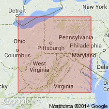
Named as part of Dunkard Creek series [Dunkard group]. Named for Colvin's Run, a stream in Greene Co., southwestern PA. Extends into WV but is seldom seen there. Consists of buffish limestone. Thickness is 0 to 10 ft, 3 ft at type locality. Lies 0 to 1 ft above Waynesburg "A" coal and 30 to 35 ft below Waynesburg "B" coal. Age is Permian based on overall age of Dunkard (p. 41).
Source: GNU records (USGS DDS-6; Reston GNULEX).
For more information, please contact Nancy Stamm, Geologic Names Committee Secretary.
Asterisk (*) indicates published by U.S. Geological Survey authors.
"No current usage" (†) implies that a name has been abandoned or has fallen into disuse. Former usage and, if known, replacement name given in parentheses ( ).
Slash (/) indicates name conflicts with nomenclatural guidelines (CSN, 1933; ACSN, 1961, 1970; NACSN, 1983, 2005, 2021). May be explained within brackets ([ ]).