

- Usage in publication:
-
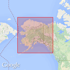
- Colville series*
- Modifications:
-
- Named
- Dominant lithology:
-
- Slate
- Silt
- Lignite
- AAPG geologic province:
-
- Alaska Northern region
Summary:
[Probably named for Colville River, northern AK.] Lower part of series best exposed along Colville River near mouth of Anaktoovuk [Anaktuvuk] River. Series extends northeastward to Arctic coast. Upper part consists of nearly horizontal stratified beds of mostly fine gray slate and ash-colored calcareous silts containing faunal remains. Lower part contains lignitic shale. Thickness is probably 500 to 600 ft. Overlies Nanushuk series (new). Underlies Goobic sands (new) of Pleistocene age. Age is thought to be Oligocene in lower part and Pliocene in upper part based on resemblance to known similar beds and fossils identified by Dr. Dall.
Source: GNU records (USGS DDS-6; Menlo GNULEX).
- Usage in publication:
-
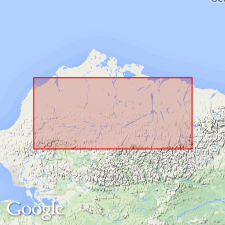
- Colville group*
- Modifications:
-
- Revised
- Biostratigraphic dating
- Dominant lithology:
-
- Shale
- Conglomerate
- Coal
- AAPG geologic province:
-
- Alaska Northern region
Summary:
Colville "series" of Schrader (1902) is renamed Colville group. Type locality designated as exposures along Colville River from approximately junction with Prince Creek extending east and north to 70th parallel. Well exposed in river cuts. On Colville River, cuts form bluffs that are nearly continuous from Umiat north to Ocean Point. Extends west to Ikpikpuk River and east to Canning River. Divided into nonmarine Prince Creek formation (new) and marine Schrader Bluff formation (new) which intertongue and are approximately of equivalent age. Group includes clastic rocks ranging from shale to conglomerate, limestone, low-grade oil shale, and coal. Total thickness is 5200 ft. Age is Late Cretaceous based on paleontological evidence.
Source: GNU records (USGS DDS-6; Menlo GNULEX).
- Usage in publication:
-
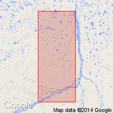
- Colville group*
- Modifications:
-
- Revised
- AAPG geologic province:
-
- Alaska Northern region
Summary:
Colville group of Gryc and others (1951) revised to include: marine Seabee formation with Ayiyak member (new), nonmarine Prince Creek formation with Tuluvak and Kogosukruk tongues, and marine Schrader Bluff formation with Rogers Creek (new), Barrow Trail (new) and Sentinel Hill members.
Source: GNU records (USGS DDS-6; Menlo GNULEX).
- Usage in publication:
-
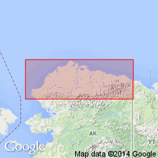
- Colville Group†
- Modifications:
-
- Abandoned
- AAPG geologic province:
-
- Alaska Northern region
Summary:
†Colville Group. Abandoned. Rocks reassigned to (descending) basal part of Prince Creek Formation, Schrader Bluff Formation, Tuluvak Formation, and Seabee Formation. [See Prince Creek, Schrader, Seabee, and Tuluvak.]
Source: Publication.
For more information, please contact Nancy Stamm, Geologic Names Committee Secretary.
Asterisk (*) indicates published by U.S. Geological Survey authors.
"No current usage" (†) implies that a name has been abandoned or has fallen into disuse. Former usage and, if known, replacement name given in parentheses ( ).
Slash (/) indicates name conflicts with nomenclatural guidelines (CSN, 1933; ACSN, 1961, 1970; NACSN, 1983, 2005, 2021). May be explained within brackets ([ ]).