- Usage in publication:
-
- Columbus sandstone
- Modifications:
-
- Original reference
- Dominant lithology:
-
- Sandstone
- AAPG geologic province:
-
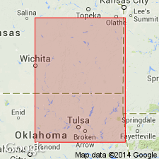
- Cherokee basin
Summary:
Pg. 106. Columbus sandstone. The most extensive sandstone system in Cherokee shales. Lies more than 200 feet above base of Cherokee and in places divides it into two parts. [Age is Pennsylvanian.]
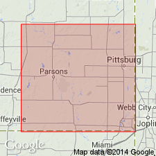
Named for outcrops along Brush Creek, east of Columbus, Cherokee Co., southeastern KS.
Source: US geologic names lexicon (USGS Bull. 896, p. 496).

- Usage in publication:
-
- Columbus sandstone†
- Modifications:
-
- Abandoned
- AAPG geologic province:
-
- Cherokee basin
Summary:
[advance copy]. The term "Columbus sandstone" was proposed by Haworth and Kirk for the sandstone exposed southeast of Columbus, Kansas, but was rather loosely defined and would probably include both Little Cabin and Bluejacket sandstone members of Cherokee shale.
Source: US geologic names lexicon (USGS Bull. 896, p. 496).
For more information, please contact Nancy Stamm, Geologic Names Committee Secretary.
Asterisk (*) indicates published by U.S. Geological Survey authors.
"No current usage" (†) implies that a name has been abandoned or has fallen into disuse. Former usage and, if known, replacement name given in parentheses ( ).
Slash (/) indicates name conflicts with nomenclatural guidelines (CSN, 1933; ACSN, 1961, 1970; NACSN, 1983, 2005, 2021). May be explained within brackets ([ ]).

