- Usage in publication:
-
- Columbia formation*
- Modifications:
-
- Original reference
- Dominant lithology:
-
- Loam
- Clay
- Sand
- Gravel
- AAPG geologic province:
-
- Atlantic Coast basin
Summary:
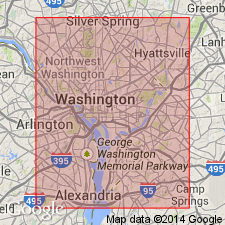
Pg. 20; also Amer. Jour. Sci., 3rd ser., v. 31, p. 473. Washington [D.C.] is located in a depression, or amphitheater, rising 20 to 80 feet above tide, bounded on east, north, and southwest by bluffs rising 150 to 300 feet in altitude and traversed by Potomac River and Eastern Branch. Within this amphitheater, and rising above its periphery to an altitude of something over 100 feet, is a well-defined Quaternary deposit to which the name Columbia formation is applied by the USGS. It consists of loam or brick clay above, and sand, gravel, or both combined, below. Thickness varies considerably, the upper member ranging from almost nothing to perhaps 20 to 30 feet, and the lower from perhaps 1 to 20 feet. The formation is more or less distinctly stratified throughout, particularly in its lower division, and at base it often becomes a simple bed of boulders and gravel without considerable admixture of finely comminuted materials. In some places it rests on gneissoid, schistose, and greenstone rocks. The entire formation appears to represent a subaqueous delta of Potomac River, formed when the sea rose far above its present level and fashioned the marine terraces exhibited in the bluffs. Overlies Potomac formation. In places rests on gneiss. [Age is Pleistocene.]
Source: US geologic names lexicon (USGS Bull. 896, p. 492).
- Usage in publication:
-
- Columbia formation*
- Modifications:
-
- Principal reference
- AAPG geologic province:
-
- Atlantic Coast basin
Summary:
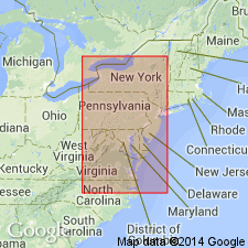
Pg. 126-143, 367-388, 448-466; also Amer. Assoc. Adv. Sci. Proc., v. 36, p. 221-222. Columbia formation. Consists of a series of subestuarine and submarine deltas and associated littoral deposits, occupying the entire Coastal Plain of Middle Atlantic slope up to altitudes ranging from about 100 feet to south to over 400 feet to north. Occurs from Long Island, [New York], to Georgia. Rests unconformably on the various known Tertiary and Quaternary deposits of the region, and has therefore been inferred to be Quaternary. The formation was named for District of Columbia. [Age is Pleistocene.]
Source: US geologic names lexicon (USGS Bull. 896, p. 492).
- Usage in publication:
-
- Columbia formation*
- Modifications:
-
- Areal extent
- AAPG geologic province:
-
- Atlantic Coast basin
Summary:
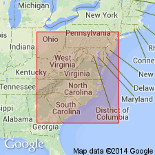
Pg. 231-239. The Columbia formation has been traced throughout greater part of Coastal Plain from mouth of Hudson to beyond the Mississippi, or over an area of more than 200,000 sq mi, its thickness and composition varying from place to place with the volumes of rivers and with character of sediments transported by them. Traced northward the formation is found to pass under the terminal moraine and the drift sheet it fringes. [Age is Pleistocene.]
Source: US geologic names lexicon (USGS Bull. 896, p. 492).

- Usage in publication:
-
- Columbia group*
- Modifications:
-
- Overview
- AAPG geologic province:
-
- Atlantic Coast basin
Summary:
In New Jersey, the Columbia group, as the deposits are now called, is divided into (descending) Cape May, Pensauken, and Bridgeton formations. In the Atlantic Coastal Plain from Delaware to Florida it is now divided by C.W. Cooke into following terrace formations (youngest to oldest): Pamlico formation (at 25 feet elevation), Talbot formation, restricted (at 42 feet elevation), Penholoway formation (at 70 feet elevation), Wicomico formation (at 100 feet elevation), Sunderland formation (at 170 feet elevation), Coharie formation (at 215 feet elevation), and Brandywine formation (at 270 feet elevation). (See Intl. Geol. Cong., 16th, Gdbks. nos. 5 and 12, 1933.) Cooke stated (Gdbk. no. 12, p. 8): The division into formations is based chiefly upon geomorphology, the fill corresponding to each Pleistocene terrace being considered a separate formation and bearing the same name as the terrace. Cooke regards all of the formations as chiefly or wholly marine, but some geologists --especially M.R. Campbell (GSA Bull, v. 42, p. 825-832, 1931) and C.K. Wentworth (Virginia Geol. Survey Bull., no. 32, 1930-- do not recognize any marine terraces above the 100-foot Wicomico terrace. All of the formations enumerated above are present in District of Columbia, the type locality of the group. Cooke does not recognize the Princess Ann terrace (and formation), which has been assigned to the 12-foot elevation. Age is Pleistocene.
Source: US geologic names lexicon (USGS Bull. 896, p. 492).
- Usage in publication:
-
- Columbia group*
- Modifications:
-
- Areal extent
- AAPG geologic province:
-
- Atlantic Coast basin
Summary:
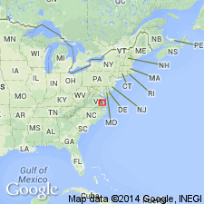
Pg. 31-32. Columbia group. Quaternary system in Virginia Coastal Plain is represented chiefly by deposits of sand and clay that mantle the older formations to a height of about 270 feet above sea level. They are collectively called Columbia group. Units included are Brandywine, Coharie, Sunderland, Wicomico, Penholoway, Talbot, and Pamlico formations. [Other units included in group are: Bridgeton, Cape May, and Pensauken formations.]
Source: US geologic names lexicon (USGS Bull. 1200, p. 895).
- Usage in publication:
-
- Columbia Group
- Modifications:
-
- Age modified
- AAPG geologic province:
-
- Atlantic Coast basin
Summary:
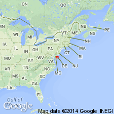
Columbia Group sediments in DE, which consist of the Beaverdam and Omar Formations, range in age from late Miocene or early Pliocene to late Quaternary. Ages are based on pollen assemblages in both formations and aminostratigraphic data from the Omar.
Source: GNU records (USGS DDS-6; Reston GNULEX).
- Usage in publication:
-
- Columbia Formation
- Modifications:
-
- Areal extent
- AAPG geologic province:
-
- Atlantic Coast basin
Summary:
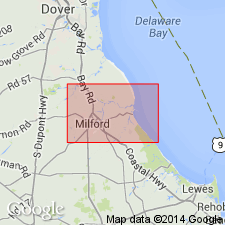
Columbia Formation of this report follows the usage of Jordan (1974). Pensauken Formation, as mapped by Owens and Minard (1979) and roughly equivalent to the Columbia, is not used. Unconformably underlies the Lynch Heights Formation (new) and unconformably overlies the St. Marys Formation. May overlie the Beaverdam Formation in the southwestern part of the study area, but lithologies of the two are so similar that the Beaverdam cannot be identified with certainty. Thickness ranges from 15 to 50 ft. Age is early Pleistocene.
Source: GNU records (USGS DDS-6; Reston GNULEX).
- Usage in publication:
-
- Columbia Formation
- Modifications:
-
- Geochronologic dating
- AAPG geologic province:
-
- Atlantic Coast basin
Summary:
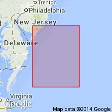
Onshore DE, the extensive unit of sand and gravel of the Columbia Formation that covers most of the state was deposited in a period of cool-temperate climate. It contains oak species characteristic of Oxygen Isotope Stages 11, 13 or older, indicating its age as middle or early Pleistocene.
Source: GNU records (USGS DDS-6; Reston GNULEX).
- Usage in publication:
-
- Columbia Group*
- Modifications:
-
- Areal extent
- AAPG geologic province:
-
- Atlantic Coast basin
Summary:
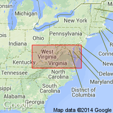
Pleistocene Columbia Group occurs in MD.
Source: GNU records (USGS DDS-6; Reston GNULEX).
For more information, please contact Nancy Stamm, Geologic Names Committee Secretary.
Asterisk (*) indicates published by U.S. Geological Survey authors.
"No current usage" (†) implies that a name has been abandoned or has fallen into disuse. Former usage and, if known, replacement name given in parentheses ( ).
Slash (/) indicates name conflicts with nomenclatural guidelines (CSN, 1933; ACSN, 1961, 1970; NACSN, 1983, 2005, 2021). May be explained within brackets ([ ]).

