The National Geologic Map Database is migrating to a new infrastructure. We apologize for any service disruptions during this process.
|
|---|


- Usage in publication:
-
- Collierstown limestone
- Modifications:
-
- Named
- Dominant lithology:
-
- Limestone
- Shale
- AAPG geologic province:
-
- Appalachian basin
Summary:
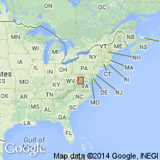
Named for Collierstown, 8 mi west of Lexington, Rockbridge Co., western VA. In Shenandoah Valley, occurs in westernmost belt of Middle Ordovician limestone, along foot of Little North Mountain; is thicker and more widespread in middle and western belts of James River district. Consists of shell limestone and medium-grained calcarenite with intercalated buff argillaceous limestones and buff shales, some of which are probably metabentonites. Thickness mostly less than 75 ft; is 58 ft at type locality. Overlies Edinburg formation (new); underlies Martinsburg formation. Age is Middle Ordovician.
Source: GNU records (USGS DDS-6; Reston GNULEX).
For more information, please contact Nancy Stamm, Geologic Names Committee Secretary.
Asterisk (*) indicates published by U.S. Geological Survey authors.
"No current usage" (†) implies that a name has been abandoned or has fallen into disuse. Former usage and, if known, replacement name given in parentheses ( ).
Slash (/) indicates name conflicts with nomenclatural guidelines (CSN, 1933; ACSN, 1961, 1970; NACSN, 1983, 2005, 2021). May be explained within brackets ([ ]).