- Usage in publication:
-
- Coleman-Albany series
- Modifications:
-
- Overview
- Dominant lithology:
-
- Shale
- Clay
- Limestone
- AAPG geologic province:
-
- Bend arch
Summary:
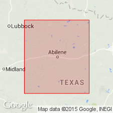
Pl. 3, p. lxvii. Coleman-Albany series. Shales, clays, and limestones, barren of coal, overlying Waldrip-Cisco series and underlying Wichita beds. Study area in central basin, approximately from Colorado River north to Red River, north-central Texas. Age is Carboniferous (Coal Measures).
Source: US geologic names lexicon (USGS Bull. 896, p. 487); supplemental information from GNU records (USGS DDS-6; Denver GNULEX).

- Usage in publication:
-
- Coleman division
- Modifications:
-
- Principal reference
- Dominant lithology:
-
- Limestone
- Clay
- Shale
- Sandstone
- AAPG geologic province:
-
- Bend arch
Summary:
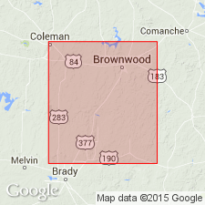
Pg. 210-213. Coleman division. Alternating limestones, clays, shales, and sandstones overlying Waldrip coal division. The limestone forming basal bed of Coleman division is 25 to 100 feet thick and not more than 100 feet above the coal in Waldrip division. Age is Carboniferous.
Named for Coleman Co., central TX, and for occurrence near town of Coleman, the county seat.
Source: Publication; US geologic names lexicon (USGS Bull. 896, p. 487).

- Usage in publication:
-
- Coleman division†
- Modifications:
-
- Abandoned
Summary:
†Coleman division (Permian) of central Texas is approximately same as Wichita formation.
Source: US geologic names lexicon (USGS Bull. 896, p. 487).
For more information, please contact Nancy Stamm, Geologic Names Committee Secretary.
Asterisk (*) indicates published by U.S. Geological Survey authors.
"No current usage" (†) implies that a name has been abandoned or has fallen into disuse. Former usage and, if known, replacement name given in parentheses ( ).
Slash (/) indicates name conflicts with nomenclatural guidelines (CSN, 1933; ACSN, 1961, 1970; NACSN, 1983, 2005, 2021). May be explained within brackets ([ ]).

