The National Geologic Map Database is migrating to a new infrastructure. We apologize for any service disruptions during this process.
|
|---|


- Usage in publication:
-
- Coleharbor Formation
- Modifications:
-
- Named
- Dominant lithology:
-
- Clay
- Sand
- Gravel
- Silt
- AAPG geologic province:
-
- Sioux uplift
- Williston basin
Summary:
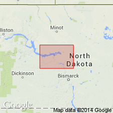
Named as a formation for town of Coleharbor, McLean Co, ND, Williston basin. Type area about 6 mi west of Coleharbor in secs 14, 15, and 22, T147N, R84W; type section in NW1/4 NW1/4 NE1/4 sec 22, T147N, R84W, McLean Co. Covers most of northeastern two-thirds of ND, northern MT, both in Williston basin; eastern SD, western and southern MN, Sioux uplift; and in SA and MB in CN. Glacial sediments in ND consist of thousands of alternating beds but only 3 main facies: 1) about 70 percent volume interlayered bouldery, cobbly, pebbly, sandy, silty clay; 2) about 25 percent volume sand and gravel; and 3) about 5 percent volume silt and clay. Boulder-clay (no. 1 above) is generally dark gray below the ground-water table and grayish brown above water table. Sand and gravel facies occur both as thin layers and lenses within the boulder-clay and as thick, continuous sequences independent of boulder-clay; generally horizontally layered. The silt and clay facies is only about 2 percent of surface area in McLean Co, but considerable thicknesses of it occur in buried valleys throughout county. In ND the Coleharbor Formation ranges from 0-600 ft thick. Lies stratigraphically between pre- and postglacial sediments. Geologic maps. Columnar section. Age indicated as "from several hundred thousand to about 9,000 years ago," or Pleistocene and Holocene.
Source: GNU records (USGS DDS-6; Denver GNULEX).
- Usage in publication:
-
- Coleharbor Group
- Modifications:
-
- Revised
- AAPG geologic province:
-
- Williston basin
Summary:
Raised in stratigraphic rank from Coleharbor Formation to Coleharbor Group. [Reason for change in rank not stated.] Composed mostly of poorly indurated to nonindurated till which is a homogeneous mixture of varying proportions of sand, silt, clay, pebbles, cobbles, and boulders in a matrix of silt and clay. Is yellow-brown to brown-gray when oxidized and olive-gray when unoxidized. The coarser units in the till are angular to subround, and are made up of carbonate rock, igneous and metamorphic rocks, and shale. The group also has a sand facies and a laminated clay and silt facies. Above the till in Pembina Co is the Walhalla clay, a 130 ft thick laminated to massive, highly plastic, light to dark-gray clay with abundant soft carbonate pebbles and nodules. Walhalla grades westward into sand and gravel. Overlies Pierre Formation; underlies Walsh Formation. Of Tertiary age. Geologic map.
Source: GNU records (USGS DDS-6; Denver GNULEX).
- Usage in publication:
-
- Coleharbor Group
- Modifications:
-
- Revised
- AAPG geologic province:
-
- Williston basin
Summary:
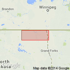
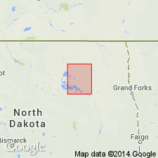
Divided in Ramsey Co, ND in the Williston basin, into five formations (ascending): Cando, Camp Grafton (new), Churchs Ferry (new), Gardar, and Dahlen Formations. The Cando deposits represent at least three glacial advances. The Camp Grafton occupies a valley cut by an ice-marginal stream. The Churchs Ferry deposits represent three glacial advances. The Gardar has deposits of a glacial advance in early Wisconsinan time, probably from the northeast. The Dahlen has deposits of the main late Wisconsin glacier. Of Pleistocene age. Geologic map; cross sections.
Source: GNU records (USGS DDS-6; Denver GNULEX).
For more information, please contact Nancy Stamm, Geologic Names Committee Secretary.
Asterisk (*) indicates published by U.S. Geological Survey authors.
"No current usage" (†) implies that a name has been abandoned or has fallen into disuse. Former usage and, if known, replacement name given in parentheses ( ).
Slash (/) indicates name conflicts with nomenclatural guidelines (CSN, 1933; ACSN, 1961, 1970; NACSN, 1983, 2005, 2021). May be explained within brackets ([ ]).