

- Usage in publication:
-
- Cohutta schist
- Modifications:
-
- First used
- Dominant lithology:
-
- Schist
- AAPG geologic province:
-
- Piedmont-Blue Ridge province
Summary:
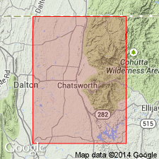
Thrust faults supplementary to the mapped overthrust, which separates the eastern crystalline block from known Paleozoic sediments of the Great Valley, bring up a Precambrian biotite augen gneiss, Fort Mountain gneiss, intruded by granite upon which Ocoee rocks are unconformable. Talc deposits and associated schists, Cohutta schist, occur in upthrust block of Fort Mountain gneiss but not in Ocoee series.
Source: GNU records (USGS DDS-6; Reston GNULEX).
- Usage in publication:
-
- Cohutta schist
- Modifications:
-
- Named
- Dominant lithology:
-
- Schist
- AAPG geologic province:
-
- Piedmont-Blue Ridge province
Summary:
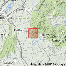
Cohutta schist, named for Cohutta Mountain, one of the southernmost conspicuous elevations of the Great Smoky Mountain. Believed to be the oldest formation in the area. Represents remnants of a metasedimentary formation, which is included in Fort Mountain gneiss. Intruded by Corbin granite. Age is Precambrian.
Source: GNU records (USGS DDS-6; Reston GNULEX).

- Usage in publication:
-
- Cohutta Schist†
- Modifications:
-
- Abandoned
- AAPG geologic province:
-
- Piedmont-Blue Ridge province
Summary:
The Cohutta Schist of Furcron and Teague (1947), small altered ultramafic bodies associated with the Allatoona Complex around Fort Mountain, is here abandoned, following McConnell and Costello (1984).
Source: GNU records (USGS DDS-6; Reston GNULEX).
- Usage in publication:
-
- "Cohutta Schist"
- Modifications:
-
- Overview
- AAPG geologic province:
-
- Piedmont-Blue Ridge province
Summary:
Used as "Cohutta Schist" because name was previously abandoned.
Source: GNU records (USGS DDS-6; Reston GNULEX).
For more information, please contact Nancy Stamm, Geologic Names Committee Secretary.
Asterisk (*) indicates published by U.S. Geological Survey authors.
"No current usage" (†) implies that a name has been abandoned or has fallen into disuse. Former usage and, if known, replacement name given in parentheses ( ).
Slash (/) indicates name conflicts with nomenclatural guidelines (CSN, 1933; ACSN, 1961, 1970; NACSN, 1983, 2005, 2021). May be explained within brackets ([ ]).