

- Usage in publication:
-
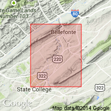
- Coffee Run dolomite
- Modifications:
-
- Named
- Dominant lithology:
-
- Dolomite
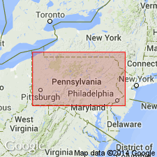
- AAPG geologic province:
-
- Appalachian basin
Summary:
Named as a formation in Bellefonte group. Named for Coffee Run, a stream in Kishacoquillas Valley, central PA. Occurs from Bellefonte to Pleasant Gap area, Nittany Valley. Consists of layers of dololutite that approach dololutite of overlying Tea Creek dolomite (new) in character, but these tend to be overshadowed by interbeds of finely crystalline to medium crystalline dolomite that weather medium to medium dark, somewhat brownish in color. Cyclic occurrences of dolomites of differing texture, fabric, and color occur in different parts of the Coffee Run. Thickness is 1000 to 1200 ft. Underlies Tea Creek dolomite; overlies Axemann limestone. Age is Canadian [Ordovician].
Source: GNU records (USGS DDS-6; Reston GNULEX).
- Usage in publication:
-
- Coffee Run Member
- Modifications:
-
- Overview
- AAPG geologic province:
-
- Appalachian basin
Summary:
The Coffee Run Member of the Bellefonte Formation consists of medium-gray, brownish-weathering, medium-bedded crystalline dolomite. Overlies the Axemann Formation and underlies the Tea Creek Member of the Bellefonte.
Source: GNU records (USGS DDS-6; Reston GNULEX).
For more information, please contact Nancy Stamm, Geologic Names Committee Secretary.
Asterisk (*) indicates published by U.S. Geological Survey authors.
"No current usage" (†) implies that a name has been abandoned or has fallen into disuse. Former usage and, if known, replacement name given in parentheses ( ).
Slash (/) indicates name conflicts with nomenclatural guidelines (CSN, 1933; ACSN, 1961, 1970; NACSN, 1983, 2005, 2021). May be explained within brackets ([ ]).