The National Geologic Map Database is migrating to a new infrastructure. We apologize for any service disruptions during this process.
|
|---|


- Usage in publication:
-
- Cochran conglomerate*
- Modifications:
-
- Original reference
- Dominant lithology:
-
- Conglomerate
- Sandstone
- Shale
- AAPG geologic province:
-
- Appalachian basin
Summary:
Pg. 3. Cochran conglomerate [basal formation of Chilhowee group]. Sandstone, 600 to 900 feet thick, underlain by bluish-gray shale 0 to 100 feet thick, in turn underlain by 500 to 700 feet of coarse greenish-white conglomerate. The sandstone is composed of round grains of white quartz; the shale is argillaceous, micaceous, and slightly sandy; the conglomerate is composed of quartz and feldspar embedded in a matrix of argillaceous sand. A small bed of reddish brown sandstone occurs near the base of the white sandstone. Overlies Sandsuck shale. Underlies Nichols shale. Age is Early Cambrian.
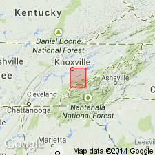
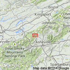
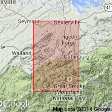
[Named from Cochran Creek, on south side of Chilhowee Mountain, Tallassee 7.5-min quadrangle, Blount Co., eastern TN; (not in Sevier Co. as stated in US geologic names lexicon, USGS Bull. 896, p. 478). Extends into western NC.]
Source: US geologic names lexicon (USGS Bull. 896, p. 478).
- Usage in publication:
-
- Cochran quartzite
- Modifications:
-
- Revised
- Dominant lithology:
-
- Quartzite
- AAPG geologic province:
-
- Appalachian basin
Summary:
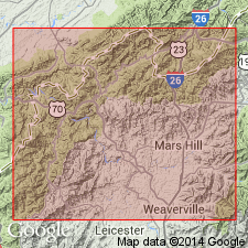
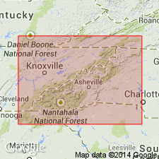
Cochran quartzite listed with rocks exposed in Hot Springs window, NC. Thickness 1,200 to 1,400 ft. Includes Nichols shale and quartzite lentil of Keith. Overlies Sandsuck shale; underlies Nebo quartzite. Age is Early Cambrian.
Source: GNU records (USGS DDS-6; Reston GNULEX).
- Usage in publication:
-
- Cochran
- Modifications:
-
- Not used
- AAPG geologic province:
-
- Appalachian basin
Summary:
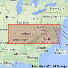
Two sets of formation names for Lower Cambrian clastic rocks are in current usage in eastern TN and western NC. The northeast TN names, Unicoi, Hampton, and Erwin, are used in this report for same rocks that Keith (1904) and Stose and Stose (1947) named Cochran, Nichols, Nebo, Murray, and Hesse, all defined by Keith (1895) in Chilhowee Mountains area, Blount and Sevier Cos., TN. Hot Springs area lies midway between type localities for each group of names. Cochran conglomerate included in Unicoi formation of this report.
Source: GNU records (USGS DDS-6; Reston GNULEX).
- Usage in publication:
-
- Cochran formation*
- Modifications:
-
- Revised
- AAPG geologic province:
-
- Appalachian basin
Summary:
Base of Cochran formation redefined at higher level, at base of persistent beds of arkose and quartzite, in part maroon. Shale, sandstone, and conglomerate beneath is redefined as Sandsuck formation. Age of the Chilhowee Group is changed to Cambrian and Precambrian(?). Only the Helenmode is of certain Cambrian age, therefore, the main part of the group, including the Cochran is now considered Precambrian(?).
Source: GNU records (USGS DDS-6; Reston GNULEX).
- Usage in publication:
-
- Cochran Formation*
- Modifications:
-
- Age modified
- AAPG geologic province:
-
- Appalachian basin
Summary:
Age of Cochran Formation changed to Early Cambrian(?).
Source: GNU records (USGS DDS-6; Reston GNULEX).
- Usage in publication:
-
- Cochran Formation
- Modifications:
-
- Areal extent
- AAPG geologic province:
-
- Appalachian basin
Summary:
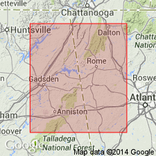
Cambrian Cochran Formation of Chilhowee Group here extended from TN into northeastern AL and northwestern GA. Underlies Nichols Formation. Unit is base of section.
Source: GNU records (USGS DDS-6; Reston GNULEX).

- Usage in publication:
-
- Cochran Formation*
- Modifications:
-
- Areal extent
- AAPG geologic province:
-
- Piedmont-Blue Ridge province
Summary:
The Cochran Formation is the lowest unit of the Chilhowee Group in the Bill Arp and Rome thrust sheets in GA and AL. Underlies the Nichols Formation. Age is Early Cambrian.
Source: GNU records (USGS DDS-6; Reston GNULEX).
- Usage in publication:
-
- Cochran Formation
- Modifications:
-
- Age modified
- AAPG geologic province:
-
- Appalachian basin
Summary:
The Chilhowee Group is probably Late Proterozoic (Vendian) to Early Cambrian (Placentian-equivalent or younger). A late Vendian(?) to early Placentian-equivalent (sub-Tommotian-equivalent) age is assigned to the Cochran and correlative Unicoi Formations. The Precambrian-Cambrian boundary is probably located somewhere within the uppermost portion of the Cochran/Unicoi interval.
Source: GNU records (USGS DDS-6; Reston GNULEX).
- Usage in publication:
-
- Cochran Formation
- Modifications:
-
- Biostratigraphic dating
- AAPG geologic province:
-
- Appalachian basin
Summary:
Age constraints for the Vendian to Placentian Chilhowee Group are provided by, 1) the occurrence of Vendian acritarchs in the subjacent Sandsuck, Wilhite, and Shields Formations; 2) the first occurrence of PALAEOPHYCUS traces in the basal Cochran and Unicoi Formations; 3)the first occurrences of SKOLOTHOS and PLANOLITES traces in the overlying Nichols and Hampton formations; 4) the abundance of well-developed arthropod as well as other diagnostic traces in the uppermost Nebo and overlying Murray Formations; 5) the recalculated age of 539ñ30 Ma for the Murray Formation; and 6) reported occurrences of late Placentian or younger body fossils recovered from the Murray Shale, including trilobites, ostracodes, inarticulate brachiopods, hylithoids, and acritarchs. The sequence in the Cochran-Unicoi interval where the Precambrian-Cambrian boundary is interpreted to occur consists of coarse-grained braided-fluvial sediments. It may prove impossible to locate the boundary precisely because of a lack of marine facies, and the shelly microfossils it might have provided.
Source: GNU records (USGS DDS-6; Reston GNULEX).
For more information, please contact Nancy Stamm, Geologic Names Committee Secretary.
Asterisk (*) indicates published by U.S. Geological Survey authors.
"No current usage" (†) implies that a name has been abandoned or has fallen into disuse. Former usage and, if known, replacement name given in parentheses ( ).
Slash (/) indicates name conflicts with nomenclatural guidelines (CSN, 1933; ACSN, 1961, 1970; NACSN, 1983, 2005, 2021). May be explained within brackets ([ ]).