

- Usage in publication:
-
- Cochetopa Park Member*
- Modifications:
-
- Named
- Dominant lithology:
-
- Tuff
- AAPG geologic province:
-
- Piceance basin
- San Luis basin
- San Juan Mountains province
Summary:
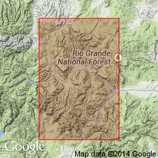
Pg. A10-A11, A81-A82. Cochetopa Park Member, upper member of Nelson Mountain Tuff. Present in south-central Gunnison, western Saguache, and northeast Hinsdale Counties, Colorado (Piceance basin, San Luis basin, and San Juan Mountain province, respectively). Is a densely welded ash-flow tuff that accumulated near the hingeline on the southwest side of Cochetopa Park caldera; volume less than 10 cubic km. At least 3 such beds, and perhaps several more, are exposed locally; all are plagioclase-biotite-pyroxene quartz latites similar in composition to the earlier Nelson Mountain Tuff. Southeast of the medial ridge, basin largely filled by nonwelded ash-flow tuff having prominent lapilli and blocks of white pumice in a finer ash matrix. Northwest of the medial ridge, basin largely filled with reworked sandy tuff deposited by streams with a few beds of air-fall tuff interlayered. Most of the sand consists of crystals of feldspar, biotite, and pyroxene winnowed from the primary ash. Ash-flow and stream-sediment facies intertongue in the northern and northeastern part of the filled basin. The younger rhyolite lava flow, which forms the prominent Cochetopa Dome, is not included in the Cochetopa Park Member. Cochetopa Park is younger than the outflow member of the Nelson Mountain and older than the Snowshoe Mountain Tuff (which is older than 26.4 m.y.). Age is Oligocene. (Cochetopa Park Member of Nelson Mountain Tuff adopted by the USGS.)
Type locality not designated. Member consists largely of laterally equivalent facies of contrasting types, so that no representative type section is available at any one place. Named from Cochetopa Park, Saguache Co., CO.
["Reference sections"]: (1) typical densely welded tuff forms minor mesa cap just north of county road, about 2,000 ft west of McDonough Ranch headquarters on west side of Cochetopa Park; (2) soft ash-flow tuffs in eastern part of Cochetopa Park caldera best exposed in stream banks, roadcuts, and quarry walls along Archuleta Creek from its confluence with Cochetopa Creek upstream for 3 to 4 mi; (3) stream-sediment facies exposed largely in roadcuts along county road between McDonough Ranch and Cochetopa Creek.
Source: Publication; supplemental areal extent information from GNU records (USGS DDS-6; Denver GNULEX).
- Usage in publication:
-
- Cochetopa Park Tuff*
- Modifications:
-
- Areal extent
- Revised
- AAPG geologic province:
-
- San Luis basin
- San Juan Mountains province
- Piceance basin
Summary:
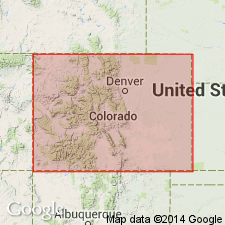
Cochetopa Park Tuff. Removed from Nelson Mountain Tuff and raised to formational rank. Change necessary because Cochetopa Park was derived from the Cochetopa Park caldera whereas Nelson Mountain was derived from the San Luis caldera. Areal extent of Cochetopa Park Tuff in southwestern Colorado shown (see fig. 24); present in Saguache County (San Luis basin), Hinsdale County (San Juan Mountain province), and Gunnison County (Piceance basin). Had an estimated volume of less than 100 cubic km. Age ranges from greater than 26.4 to less than 26.7 m.y.
Source: Modified from GNU records (USGS DDS-6; Denver GNULEX).
For more information, please contact Nancy Stamm, Geologic Names Committee Secretary.
Asterisk (*) indicates published by U.S. Geological Survey authors.
"No current usage" (†) implies that a name has been abandoned or has fallen into disuse. Former usage and, if known, replacement name given in parentheses ( ).
Slash (/) indicates name conflicts with nomenclatural guidelines (CSN, 1933; ACSN, 1961, 1970; NACSN, 1983, 2005, 2021). May be explained within brackets ([ ]).