

- Usage in publication:
-
- Coburn formation*
- Modifications:
-
- Named
- Dominant lithology:
-
- Limestone
- Shale
- AAPG geologic province:
-
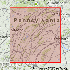
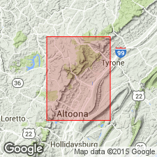
- Appalachian basin
Summary:
Named for town of Coburn, Center Co., PA. Top formation in Trenton group. Upper beds become increasingly shaly and finally merge into overlying Reedsville shale. The middle and lower beds consist of alternations of crystalline, highly fossiliferous limestone, and black shaly limestone. Thickness 400 ft.
Source: GNU records (USGS DDS-6; Reston GNULEX).
- Usage in publication:
-
- Coburn Formation
- Modifications:
-
- Overview
- AAPG geologic province:
-
- Appalachian basin
Summary:
Coburn Formation extends throughout the Valley and Ridge province in central and south-central PA. Consists primarily of interbedded fossiliferous and nonfossiliferous limestones. Limestone is described as thin- to thick-bedded, medium-dark-gray homogeneous calcisiltite and calcilutite. Near the base of the Coburn are nodules and lenses of black chert up to 60 cm in length. Conformably overlies the Salona Formation. Upper contact with Antes Formation is not exposed but is presumed to be conformable. Thickness is calculated at 90+/-5 m from dip and map-pattern width as exposures are poor. Basis not given for Late Ordovician age assignment.
Source: GNU records (USGS DDS-6; Reston GNULEX).
For more information, please contact Nancy Stamm, Geologic Names Committee Secretary.
Asterisk (*) indicates published by U.S. Geological Survey authors.
"No current usage" (†) implies that a name has been abandoned or has fallen into disuse. Former usage and, if known, replacement name given in parentheses ( ).
Slash (/) indicates name conflicts with nomenclatural guidelines (CSN, 1933; ACSN, 1961, 1970; NACSN, 1983, 2005, 2021). May be explained within brackets ([ ]).