The National Geologic Map Database is migrating to a new infrastructure. We apologize for any service disruptions during this process.
|
|---|


- Usage in publication:
-
- Coalmont formation*
- Modifications:
-
- Named
- Dominant lithology:
-
- Sandstone
- Shale
- Coal
- AAPG geologic province:
-
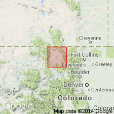
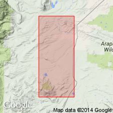
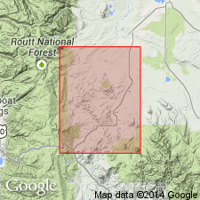
- North Park basin
Summary:
Named for town of Coalmont, Jackson Co, CO in the North Park basin. Unconformably overlies Cretaceous Pierre shale and unconformably? underlies the North Park formation. Mapped (geologic map) over large area in central part of North Park. No type locality designated. Consists of 4,000 to 5,000 ft of freshwater beds. Measured section of upper part. Has a white medium- to fine-grained quartz sandstone at base that is overlain by interbedded clay, shale, coal, gray, buff to brown sandstone. Some carbonaceous layers. Is about 3,500 ft thick. [Lithologic sequence not clearly described.] Is diverse in color and character. Considered to be Cretaceous or Tertiary. Fossils: fish, invertebrates, plants (listed).
Source: GNU records (USGS DDS-6; Denver GNULEX).
- Usage in publication:
-
- Coalmont formation*
- Modifications:
-
- Age modified
- AAPG geologic province:
-
- North Park basin
Summary:
Age changed from Paleocene to Paleocene and Eocene. Is about 9,000 ft thick in parts of North Park, CO in the North Park basin where it unconformably overlies Cretaceous rocks and unconformably underlies Oligocene White River formation. Fossil pollen and spores identified: 1) 900 ft above beds which have Paleocene plants about 5 mi southwest of Walden; 2) about 3,500 ft below top of formation in Coalmont area and about 2,800 ft below the #2 collection. All but two of these pollen and spore species also occur in the Wasatch and Green River formations. Lower part of Coalmont is Paleocene based on fossil leaves. Upper part is Eocene, perhaps early Eocene, based on fossil spores and pollen.
Source: GNU records (USGS DDS-6; Denver GNULEX).
- Usage in publication:
-
- Coalmont Formation*
- Modifications:
-
- Revised
- Overview
- AAPG geologic province:
-
- North Park basin
Summary:
Revised in that it can locally be divided into three members: Middle Park Member (new stratigraphic rank) at base, the middle and upper members. Unconformably overlies Pierre Shale. Is older than North Park Formation. Middle Park distinguished by presence of andesite pebbles. Middle and upper members separated by an unconformity. Is nonresistant, easily eroded. Forms lowlands, flatlands, or slopes. Individual beds in the lower two members form cliffs, ridges, or hogbacks. Middle Park is about 600 ft thick; middle member is 1,765 to 2,740 ft thick; upper member is about 5,000 ft thick. Is a heterogeneous mixture of sandstone, conglomerate, claystone or mudstone, carbonaceous shale, and coal--all of nonmarine origin. Fossil pollen indicate Middle Park is Paleocene, middle member is Paleocene and Eocene, and upper member is Eocene. Mapped (geologic maps) in Grand and Jackson Cos, CO in the North Park basin. The three members are separately mapped.
Source: GNU records (USGS DDS-6; Denver GNULEX).
For more information, please contact Nancy Stamm, Geologic Names Committee Secretary.
Asterisk (*) indicates published by U.S. Geological Survey authors.
"No current usage" (†) implies that a name has been abandoned or has fallen into disuse. Former usage and, if known, replacement name given in parentheses ( ).
Slash (/) indicates name conflicts with nomenclatural guidelines (CSN, 1933; ACSN, 1961, 1970; NACSN, 1983, 2005, 2021). May be explained within brackets ([ ]).