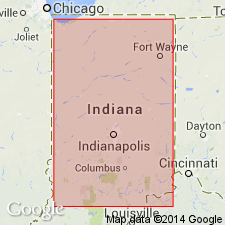
- Usage in publication:
-
- Cloverdale Till Member
- Modifications:
-
- Named
- Dominant lithology:
-
- Mudstone
- Gravel
- Sand
- Silt
- Clay
- Coal
- AAPG geologic province:
-
- Illinois basin
Summary:
Named for lower part of Jessup Formation. Named for Cloverdale. Consists of dominantly sandy, conglomeratic mudstone but includes lenses and thin beds of gravel, sand, silt, clay, and low-grade coal. Top and bottom are marked by erosional unconformities. Marked by distinctive paleosol from which carbonates have been leached to a depth of 3 to 4 m; locally marked by lentils of weathered gravels, sands, silts, and coal-like sediments. Where this paleosol is absent because of erosion, Cloverdale Till Member is difficult to distinguish from younger Butlerville Till Member (new). Thickness is 29 ft at type section. Age is Pleistocene.
Source: GNU records (USGS DDS-6; Reston GNULEX).
For more information, please contact Nancy Stamm, Geologic Names Committee Secretary.
Asterisk (*) indicates published by U.S. Geological Survey authors.
"No current usage" (†) implies that a name has been abandoned or has fallen into disuse. Former usage and, if known, replacement name given in parentheses ( ).
Slash (/) indicates name conflicts with nomenclatural guidelines (CSN, 1933; ACSN, 1961, 1970; NACSN, 1983, 2005, 2021). May be explained within brackets ([ ]).

