

- Usage in publication:
-
- Clinchfield sand
- Modifications:
-
- Named
- Dominant lithology:
-
- Sand
- AAPG geologic province:
-
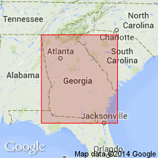
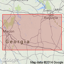
- South Georgia sedimentary province
Summary:
In 1965, Vorhis (oral presentation and abstract, GSA Southeastern Section Meeting, Nashville) proposed name Clinchfield Sand for a sand which occurs at base of Jackson Group or just below Jackson Group and has been called Gosport Sand of Claiborne Group (Herrick, 1961, GA Geol. Survey Bull. 70; LeGrand, 1962, GA Geol. Survey Bull 72). Inasmuch as name "Clinchfield" has been presented only in an abstract, it has no formal status and is used in an entirely informal sense in present report. Age of Clinchfield not known with any certainty, but its inclusion in Jackson Group seems reasonable. Herrick (1961) described section in Georgia Geological Survey well GGS 258. He reported 110 ft of fossiliferous glauconitic Ocala Limestone with 10 ft of sand at base. The well bottoms in the sand, here referred to Clinchfield sand of Vorhis. In Georgia Geological Survey well 339, Herrick showed the sands at the top of the Jackson Group as underlain by 56 ft of marl, 39 ft of limestone, and 10 ft of sand., all grouped as Barnwell Formation. The Cooper Marl, Ocala Limestone, and Clinchfield sand are lithologic units of formation rank and, on basis of lithology of lower part of Jackson Group in this well, they are herein plotted as Cooper Marl, Ocala Limestone, and Clinchfield sand. Georgia Geological Survey well 195 consists of 26 ft of sand underlain by 125 ft of interbedded marl and limestone with 10 ft of sand at base. Herrick assigned the sand at the top of the Jackson Group to Cooper Marl, the marls to Twiggs Clay Member of the Barnwell Formation, the limestone, with exception of a thin limestone in a thick marl in the upper part of the section, to Ocala Limestone; and the basal sand to Gosport Sand of Claiborne Group. Herrick's Ocala Limestone units have been retained in figure 3 of present report, and other units reassigned on lithologic basis used in section 3 which shows Clinchfield sand at base. On the outcrop in Big Indian Creek section, the Clinchfield sand is 10 ft thick, fine-grained, structureless, and white to cream colored. It underlies Twiggs Clay Member of Barnwell Formation. [The abstract of Vorhis' paper, given at the GSA Nashville meeting, 1965, was published in 1966 (GSA Special Paper 87). It did not contain name Clinchfield sand.]
Source: GNU records (USGS DDS-6; Reston GNULEX).

- Usage in publication:
-
- Clinchfield Sand*
- Modifications:
-
- Overview
- Biostratigraphic dating
- Age modified
- AAPG geologic province:
-
- South Georgia sedimentary province
Summary:
Type section designated as Georgia Geological Survey test hole 994 in the west (new) quarry of Penn-Dixie Cement Co., near Clinchfield, GA. Exposed on north side of cement company's east (old) quarry. Age is late early Eocene (Jackson) as indicated by the following Foraminifera: TEXTULARIA DIBOLLENSIS HUMBLEI, PLANULARIA GEORGIANA, NONION INEXCAVATUS, N. PLANATUS, NONIONELLA JACKSONENSIS COMPRESSA, DISCORBIS ALVEATA STAVENSIS, and CASSIDULINA MOODYENSIS. Basal Eocene deposits of the Clinchfield Sand in GA correlate with the Dellet Sand Member of the Moodys Branch Formation at Claiborne Bluff, AL, and with an unnamed marl deposit at Baldock, SC. They are stratigraphically equivalent, though not identical, on the basis of microfossils taken from each locality and from Moodys Branch at its type locality in Jackson, MS. The Clinchfield and unnamed marl are more closely related to each other as a carbonate facies than to the Dellet, as shown by fossil indicators of AMPHISTEGINA ALABAMEMSIS, CRIBROGLOBOROTALIA MARIELINA, BULIMINELLA cf. B. LAEVIS, GYPSINA GLOBULA, and LEPIDOCYCLINA sp. The Dellet is present as far east as Chattahoochee River (AL-GA boundary) as shown by occurrence of CHLAMYS DESHAYSEII.
Source: GNU records (USGS DDS-6; Reston GNULEX).
- Usage in publication:
-
- Clinchfield Formation
- Modifications:
-
- Revised
- Areal extent
- AAPG geologic province:
-
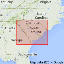
- Atlantic Coast basin
- South Georgia sedimentary province
Summary:
Authors are changing sense of unit so name changed from Sand to Formation. Basal sand deposit of Barnwell Group. Reference section is designated at Rich Hill, Crawford Co., where unit is 4 m thick. Clinchfield is predominantly quartz sand in central GA, but less sandy toward east. Unit is subdivided into 1) typical Clinchfield Sand; 2) lower Riggins Mill Member; 3) upper Treadwell Member; 4) Albion Member--updip (also in SC); and 5) Utley Limestone Member--downdip. Underlies Tivola Limestone of Ocala Group. Overlies Huber Formation. Age is late Eocene. [Report is very similar to 1979 Open-File 80-1 by same authors. Members were annotated from Open-File for Lexicon. Clinchfield was assigned to Barnwell Group in that report for the first time, but had not yet been extended to SC.]
Source: GNU records (USGS DDS-6; Reston GNULEX).
- Usage in publication:
-
- Clinchfield Formation
- Modifications:
-
- Overview
- Areal extent
- AAPG geologic province:
-
- Atlantic Coast basin
Summary:
In the study area, Siple (1967) assigned the lower part of the upper Eocene to the McBean Formation and the upper part to the Barnwell and Hawthorn formations. Authors here follow the stratigraphic terminology of Huddlestun and Hetrick (1985) for the upper Eocene. The basal upper Eocene unit is the Clinchfield Formation, which consists of glauconitic, biomoldic limestone, calcareous sand and clay, and tan and yellow quartz sand. The quartz sand is probably the Riggins Mill Member, and the calcareous part is the Utley Limestone Member. The lower contact with the middle Eocene Santee Limestone is probably unconformable. The Clinchfield is about 25 ft thick in the southeastern part of the Site and pinches out or becomes unrecognizable in the center of the Savannah River Site. It appears to correlate biostratigraphically with the Gosport or Moodys Branch Formation of the Gulf Coastal Plain.
Source: GNU records (USGS DDS-6; Reston GNULEX).
- Usage in publication:
-
- Clinchfield Formation
- Modifications:
-
- Age modified
- AAPG geologic province:
-
- South Georgia sedimentary province
Summary:
Authors suggest a re-evaluation of the Clinchfield Formation, which Huddlestun and Hetrick (1986) included as the basal unit of their upper Eocene (Jacksonian) Barnwell Group in GA. Authors of this report believe that most of the Clinchfield of GA is equivalent to the Claibornian Orangeburg District bed.
Source: GNU records (USGS DDS-6; Reston GNULEX).
- Usage in publication:
-
- Clinchfield Formation*
- Modifications:
-
- Overview
- AAPG geologic province:
-
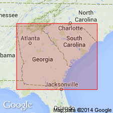
- Atlantic Coast basin
- South Georgia sedimentary province
Summary:
Pg. 10-11, 21, geol. map. Clinchfield Formation, lower formation of Barnwell Group. Limited exposure in Barnwell sheet; not separately mapped. =Utley Limestone Member of Clinchfield of Huddlestun and Hetrick (1986, Georgia Geol. Survey Bull., no. 95). Age might be earliest late or latest middle Eocene (paleontologic problems defining middle-upper Eocene boundary). Huddlestun and Hetrick (1986) report local occurrence of echinoid PERIARCHUS LYELLI.
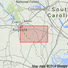
Reference locality: in steep bluffs on Savannah River south of Hancock Landing.
Source: Publication.
For more information, please contact Nancy Stamm, Geologic Names Committee Secretary.
Asterisk (*) indicates published by U.S. Geological Survey authors.
"No current usage" (†) implies that a name has been abandoned or has fallen into disuse. Former usage and, if known, replacement name given in parentheses ( ).
Slash (/) indicates name conflicts with nomenclatural guidelines (CSN, 1933; ACSN, 1961, 1970; NACSN, 1983, 2005, 2021). May be explained within brackets ([ ]).