The National Geologic Map Database is migrating to a new infrastructure. We apologize for any service disruptions during this process.
|
|---|


- Usage in publication:
-
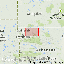
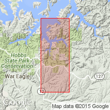
- Clifty limestone*
- Modifications:
-
- Original reference
- Dominant lithology:
-
- Limestone
Summary:
Clifty limestone. A bed of limestone nowhere more than 2.5 feet thick. Named for East Fork of Little Clifty Creek, Eureka Springs quadrangle, where within an area not exceeding 0.5 sq mi, all of its known exposures occur. Lower 1.5 feet is gray, compact, laminated, cross-bedded limestone with few fossils and large amount of quartz sand, the grains of which are rounded and translucent. Upper 12 inches is compact, light bluish-gray limestone, with conchoidal fracture and small amount of sand like that in underlying bed. Unconformably underlies Sylamore sandstone member of Chattanooga shale and unconformably overlies Kings River sandstone member of Everton limestone. Contains Hamilton fossils in lower 18 inches.
Source: US geologic names lexicon (USGS Bull. 896, p. 463).
- Usage in publication:
-
- Clifty limestone
- Modifications:
-
- Overview
Summary:
Pg. 132, 134 (fig. 27). Clifty limestone. Sandy compact light-bluish-gray fossiliferous limestone. Maximum thickness 2.5 feet. Overlies Penters chert; underlies Sylamore sandstone member of Chattanooga shale.
Source: US geologic names lexicon (USGS Bull. 1200, p. 839).
For more information, please contact Nancy Stamm, Geologic Names Committee Secretary.
Asterisk (*) indicates published by U.S. Geological Survey authors.
"No current usage" (†) implies that a name has been abandoned or has fallen into disuse. Former usage and, if known, replacement name given in parentheses ( ).
Slash (/) indicates name conflicts with nomenclatural guidelines (CSN, 1933; ACSN, 1961, 1970; NACSN, 1983, 2005, 2021). May be explained within brackets ([ ]).