The National Geologic Map Database is migrating to a new infrastructure. We apologize for any service disruptions during this process.
|
|---|


- Usage in publication:
-
- Clayton Mine Quartzite*
- Modifications:
-
- Named
- Dominant lithology:
-
- Quartzite
- Conglomerate
- AAPG geologic province:
-
- Idaho Mountains province
Summary:
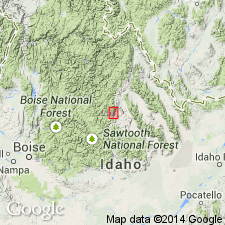
Named for Clayton Mine, Custer Co, ID in Idaho Mountains province. Type section designated on north side Salmon River canyon, 1-2 mi west of Clayton, ID, in T11N, R17E. Is a gray, coarse- to medium-grained, feldspathic quartzite. May be thick-bedded or massive or thin-bedded. Cross-laminations occur at several intervals but are more common in lower half. Thin conglomerate lenses occur in upper two-thirds; these are of pebbly quartzite. Formerly mapped with Kinnikinic but can be distinguished from Kinnikinic by its heterogeneity. Is 1,980 ft thick at type. Base is not exposed; conformably overlain by Ella Dolomite (first published description in this report). Is unfossiliferous; assigned a Middle Ordovician or older age.
Source: GNU records (USGS DDS-6; Denver GNULEX).
- Usage in publication:
-
- Clayton Mine Quartzite*
- Modifications:
-
- Overview
- AAPG geologic province:
-
- Idaho Mountains province
- Snake River basin
Summary:
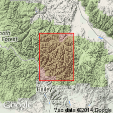
Mapped in southern and western parts of Pioneer window in Blaine and Custer Cos, ID, Snake River basin and Idaho Mountains province. Consists of white, vitreous, poorly sorted, thick-bedded to massive, micaceous and feldspathic gneissose quartzite; typically splits into slabs along partings containing as much as 50% biotite. Characterized by well-developed coarse tabular cross-bedding. Contains some discontinuous layers and lenses of granule and pebble conglomerate with pink-to purplish-gray quartz clasts. Thickness is about 300-425 m. Unconformably? overlies Proterozoic Y? banded calc-silicate unit with generally concordant, but locally slightly discordant contact; base marked by about 2m of quartz-pebble conglomerate. Assigned Ordovician or older age.
Source: GNU records (USGS DDS-6; Denver GNULEX).
- Usage in publication:
-
- Clayton Mine Quartzite*
- Modifications:
-
- Age modified
- AAPG geologic province:
-
- Idaho Mountains province
Summary:
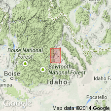
Considered to be of Ordovician or older (rather than Middle Ordovician or older) age in this report on Custer Co area, ID in the Idaho Mountains province, on basis of regional stratigraphic relations. Clayton Mine disconformably (rather than conformably as originally thought) underlies the Middle Ordovician Ella Dolomite.
Source: GNU records (USGS DDS-6; Denver GNULEX).
For more information, please contact Nancy Stamm, Geologic Names Committee Secretary.
Asterisk (*) indicates published by U.S. Geological Survey authors.
"No current usage" (†) implies that a name has been abandoned or has fallen into disuse. Former usage and, if known, replacement name given in parentheses ( ).
Slash (/) indicates name conflicts with nomenclatural guidelines (CSN, 1933; ACSN, 1961, 1970; NACSN, 1983, 2005, 2021). May be explained within brackets ([ ]).