The National Geologic Map Database is migrating to a new infrastructure. We apologize for any service disruptions during this process.
|
|---|


- Usage in publication:
-
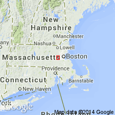
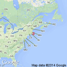
- Claypit Hill Formation*
- Modifications:
-
- Named
- Dominant lithology:
-
- Gneiss
- Amphibolite
- AAPG geologic province:
-
- New England province
Summary:
Named for Claypit Hill Road, Middlesex Co., eastern MA. Consists of dark green and gray gneiss and amphibolite. Thickness is 460 to 610 m. Underlies unnamed glacial deposits; overlies Cherry Brook Formation (new). Age is Precambrian Z and early Paleozoic.
Source: GNU records (USGS DDS-6; Reston GNULEX).

- Usage in publication:
-
- Claypit Hill Formation
- Modifications:
-
- Not used
- AAPG geologic province:
-
- New England province
Summary:
Not used on MA State Geologic Map. [Usage still good elsewhere.]
Source: GNU records (USGS DDS-6; Reston GNULEX).
- Usage in publication:
-
- Claypit Hill Formation
- Modifications:
-
- Not used
- AAPG geologic province:
-
- New England province
Summary:
Rocks mapped as Claypit Hill Formation by Bell and Alvord (1976) were included in Proterozoic Z unnamed unit of metamorphosed mafic to felsic flow, volcaniclastic, and hypabyssal intrusive rock on the State bedrock map of Zen and others (1983). Claypit Hill is similar to Marlboro Formation in Nashoba zone, and it may be a slice of Marlboro caught in Bloody Bluff fault zone. Because it is intruded by Proterozoic Z rocks, it is clearly within Milford-Dedham zone. [Claypit Hill is still valid term; not abandoned. Chapters A-J in U.S. Geological Survey Professional Paper 1366 are intended as explanations and (or) revisions to 1:250,000-scale MA State bedrock geologic map of Zen and others (1983).]
Source: GNU records (USGS DDS-6; Reston GNULEX).
For more information, please contact Nancy Stamm, Geologic Names Committee Secretary.
Asterisk (*) indicates published by U.S. Geological Survey authors.
"No current usage" (†) implies that a name has been abandoned or has fallen into disuse. Former usage and, if known, replacement name given in parentheses ( ).
Slash (/) indicates name conflicts with nomenclatural guidelines (CSN, 1933; ACSN, 1961, 1970; NACSN, 1983, 2005, 2021). May be explained within brackets ([ ]).