- Usage in publication:
-
- Claymont clay bed*
- Modifications:
-
- Named
- Dominant lithology:
-
- Clay
- AAPG geologic province:
-
- Peninsular Ranges province
Summary:
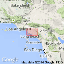
Named as bed in Silverado formation (new). Type locality designated on Claymont property of Gladding McBean Co. near divide between Gypsum Creek and Sierra Canyon, northwestern Santa Ana Mountains, Orange Co, CA. Occurs 65 to 140 ft above base of Silverado formation. Consists of pisolitic sandy clay. Has thickness of 8 in. to 5 ft but is generally 1 to 2 ft thick. Is datum plane for stratigraphic sections of Silverado formation which is Paleocene in age.
Source: GNU records (USGS DDS-6; Menlo GNULEX).
For more information, please contact Nancy Stamm, Geologic Names Committee Secretary.
Asterisk (*) indicates published by U.S. Geological Survey authors.
"No current usage" (†) implies that a name has been abandoned or has fallen into disuse. Former usage and, if known, replacement name given in parentheses ( ).
Slash (/) indicates name conflicts with nomenclatural guidelines (CSN, 1933; ACSN, 1961, 1970; NACSN, 1983, 2005, 2021). May be explained within brackets ([ ]).

