

- Usage in publication:
-
- Clarkson Till
- Modifications:
-
- Original reference
- Dominant lithology:
-
- Boulder clay
- AAPG geologic province:
-
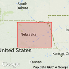
- Salina basin
Summary:
Pg. 4 (fig. 3), 12 (fig. 6), 30 (fig. 8), 37, 38. Clarkson Till. Consists of silty to sandy and pebbly yellowish-brown to olive-gray mottled boulder clay in upper 37 feet and olive-gray to brownish-gray in lower 20 feet. At type locality underlies Loveland Formation and overlies Cedar Bluffs and Nickerson Tills (both new). No exposures known at present time. Fluviatile equivalent of Clarkson Till is believed to be Grafton Formation (new). Recognized in Nebraska. Age is middle Pleistocene (early Illinoian).
Type locality: ground water survey test hole A22-2-25dc, drilled in SW corner, sec. 25, T. 22 N., R. 2 E., Stanton Co., 8 mi north and 0.5 mi west of Clarkson.
Source: US geologic names lexicon (USGS Bull. 1350, p. 156-157).
For more information, please contact Nancy Stamm, Geologic Names Committee Secretary.
Asterisk (*) indicates published by U.S. Geological Survey authors.
"No current usage" (†) implies that a name has been abandoned or has fallen into disuse. Former usage and, if known, replacement name given in parentheses ( ).
Slash (/) indicates name conflicts with nomenclatural guidelines (CSN, 1933; ACSN, 1961, 1970; NACSN, 1983, 2005, 2021). May be explained within brackets ([ ]).