- Usage in publication:
-
- Claremore formation
- Modifications:
-
- Named
- Dominant lithology:
-
- Limestone
- Shale
- Sandstone
- Coal
- AAPG geologic province:
-
- Chautauqua platform
Summary:
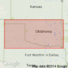
Named as basal formation (of 4) of the Tulsa group; named for the town of Claremore, Rogers Co, OK, Chautauqua platform. No type locality designated. Outcrops over a belt running southwest from the KS line near Chetopa and varying from less than 1 mi to 10 mi wide; extends past vicinity of Centralia to west of Chelsea; extends southward to the Arkansas River. Consists of a lower, middle, and upper limestone, with intervening clastic sedimentary rock and coal. Mostly shale lies between the lower and middle limestones. A well-defined and persistent bed of sandstone lies a few ft below the middle limestone; this sandstone weathers to yellow or buff and lower limestone can always be found some 15 ft below it. Thickness is variable; at Claremore is about 50 ft; thicknesses of 135 ft have been reported elsewhere. Overlies Vinita formation (new) of Muskogee group; underlies Labette shales of Tulsa group. Measured section. Stratigraphic chart. Of Pennsylvanian age.
Source: GNU records (USGS DDS-6; Denver GNULEX).
For more information, please contact Nancy Stamm, Geologic Names Committee Secretary.
Asterisk (*) indicates published by U.S. Geological Survey authors.
"No current usage" (†) implies that a name has been abandoned or has fallen into disuse. Former usage and, if known, replacement name given in parentheses ( ).
Slash (/) indicates name conflicts with nomenclatural guidelines (CSN, 1933; ACSN, 1961, 1970; NACSN, 1983, 2005, 2021). May be explained within brackets ([ ]).

