The National Geologic Map Database is migrating to a new infrastructure. We apologize for any service disruptions during this process.
|
|---|


- Usage in publication:
-
- Ciniza Lake Beds†
- Modifications:
-
- Abandoned
Summary:
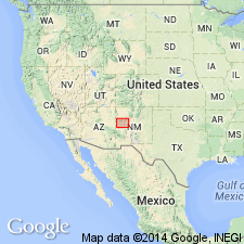
Name abandoned. Name was applied to a 1.5 m thick carbonaceous shale in the Chinle Formation. Rocks formerly called Ciniza are within the newly named Bluewater Creek Member of Chinle in this report. The shale is so thin and of such limited extent areally--250 m x 550 m southeast of Fort Wingate, McKinley Co, NM--that a separate name for it seems of little use.
Source: GNU records (USGS DDS-6; Denver GNULEX).
For more information, please contact Nancy Stamm, Geologic Names Committee Secretary.
Asterisk (*) indicates published by U.S. Geological Survey authors.
"No current usage" (†) implies that a name has been abandoned or has fallen into disuse. Former usage and, if known, replacement name given in parentheses ( ).
Slash (/) indicates name conflicts with nomenclatural guidelines (CSN, 1933; ACSN, 1961, 1970; NACSN, 1983, 2005, 2021). May be explained within brackets ([ ]).