- Usage in publication:
-
- Choptank formation*
- Modifications:
-
- Named
- Dominant lithology:
-
- Clay
- Sand
- AAPG geologic province:
-
- Atlantic Coast basin
Shattuck, G.B., 1902, The Miocene problem of Maryland [abs.]: Science, new series, v. 15, p. 906.
Summary:
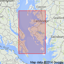
Divided Chesapeake Group into 3 formations; in ascending order, Calvert, Choptank, and St. Mary's formations. Formations have clearly defined faunas. No lithologic description in this paper.
Source: GNU records (USGS DDS-6; Reston GNULEX).

- Usage in publication:
-
- Choptank Formation
- Modifications:
-
- Overview
- AAPG geologic province:
-
- Atlantic Coast basin
Summary:
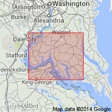
Choptank Formation in Charles Co. described as grayish olive, fine, well-sorted sand to silty sand interbedded with dark greenish gray, silty clay. Upper part locally weathered to yellow-orange. Bedding in many places destroyed by bioturbation, giving mottled appearance. Sand-filled 3/4-inch burrows are common. Thickness ranges from 80 ft at the St. Marys Co. line to just a few inches three miles to the west. Deposited on open shelf; shore facies eroded. Contains casts and molds of MERCENARIA, MACROCALLISTA, TURRITELLA, GLOSSUS, and BALANUS. Age is middle middle Miocene based on correlation with beds in St. Marys and Calvert Counties. Underlies Pliocene and Pleistocene estuarine units; overlies Calvert Formation. [Nomenclature used in this report reflects the usage of the Maryland Geological Survey.]
Source: GNU records (USGS DDS-6; Reston GNULEX).

- Usage in publication:
-
- Choptank Formation
- Modifications:
-
- Areal extent
- AAPG geologic province:
-
- Atlantic Coast basin
Summary:
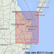
Gamma-ray log signatures of the Calvert, Choptank, and St. Marys Formations of the Chesapeake Group in DE boreholes can be correlated with similar signatures on the log of the Miocene Kirkwood Formation in the Dickinson No. 1 of Cape May, NJ. However, the New Jersey Geological Survey does not recognize the Calvert, Choptank, and St. Marys Formations (P.J. Sugarman, pers. commun, 1990). Above the St. Marys, the NJ and DE sections differ. Author states, "My correlation of the gamma-ray log signatures of those formations in Delaware to Dickinson No. 1 does not imply that those formations exist in New Jersey."
Source: GNU records (USGS DDS-6; Reston GNULEX).

- Usage in publication:
-
- Choptank Formation
- Modifications:
-
- Overview
- AAPG geologic province:
-
- Atlantic Coast basin
Summary:
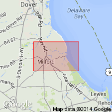
Chesapeake Group is undivided on the State map. However, its formations--Chowan River, Yorktown, Eastover, St. Marys, Choptank, and Calvert--are discussed in the text. Choptank described as olive-gray sand, fine to very fine, clayey and silty, shelly, and diatomaceous clay-silt. Commonly forms fining-upward sequences. Members not discussed. Mollusks include CHESAPECTEN NEFRENS, MERCENARIA CUNEATA, and ECPHORA MEGANAE. Thickness ranges 0 to 50 ft. Age is middle Miocene.
Source: GNU records (USGS DDS-6; Reston GNULEX).

- Usage in publication:
-
- Choptank Formation
- Modifications:
-
- Age modified
- AAPG geologic province:
-
- Atlantic Coast basin
Summary:
Age of Choptank in study area given as middle to late Miocene.
Source: GNU records (USGS DDS-6; Reston GNULEX).
For more information, please contact Nancy Stamm, Geologic Names Committee Secretary.
Asterisk (*) indicates published by U.S. Geological Survey authors.
"No current usage" (†) implies that a name has been abandoned or has fallen into disuse. Former usage and, if known, replacement name given in parentheses ( ).
Slash (/) indicates name conflicts with nomenclatural guidelines (CSN, 1933; ACSN, 1961, 1970; NACSN, 1983, 2005, 2021). May be explained within brackets ([ ]).

