

- Usage in publication:
-
- Chittenango member
- Modifications:
-
- Original reference
- Dominant lithology:
-
- Shale
- AAPG geologic province:
-
- Appalachian basin
Summary:
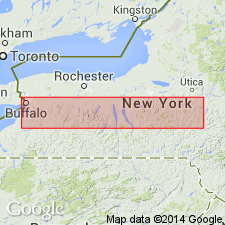
Pg. 131, 219, etc. Chittenango member of Marcellus shale. Jet-black, fissile, non-calcareous shale overlying Cherry Valley limestone member of Marcellus from eastern New York nearly to Cayuga Lake. Is separately designated because it is non-calcareous, nearly barren of fossils, and represents only part of time interval of Oatka Creek shale of western New York. Type section is in a small gully 0.7 mi north of village of Chittenango Falls, [Cazenovia 7.5-min quadrangle, Madison County, central New York], where entire section, 120 feet thick, is exposed. At top it interfingers with the blue-black Cardiff shale. [Age is Middle Devonian.]
Source: US geologic names lexicon (USGS Bull. 896, p. 436).
For more information, please contact Nancy Stamm, Geologic Names Committee Secretary.
Asterisk (*) indicates published by U.S. Geological Survey authors.
"No current usage" (†) implies that a name has been abandoned or has fallen into disuse. Former usage and, if known, replacement name given in parentheses ( ).
Slash (/) indicates name conflicts with nomenclatural guidelines (CSN, 1933; ACSN, 1961, 1970; NACSN, 1983, 2005, 2021). May be explained within brackets ([ ]).