The National Geologic Map Database is migrating to a new infrastructure. We apologize for any service disruptions during this process.
|
|---|


- Usage in publication:
-
- Chisik conglomerate*
- Modifications:
-
- Named
- Dominant lithology:
-
- Conglomerate
- AAPG geologic province:
-
- Alaska Southwestern region
Summary:
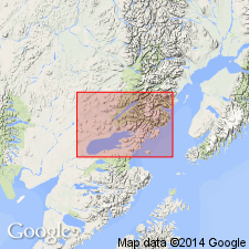
Occurs on Chisik Island and on east shore of Iniskin Bay, Iliamna region, southwestern AK. Probably also occurs on east shore of Oil Bay and possibly at head of Kamishak Bay. Consists predominantly of coarse conglomerate of well-rounded pebbles of granite and other crystalline rocks in andesitic tuffaceous matrix. Thickness is 290 ft at Iniskin Bay, probably thicker on Chisik Island. Overlies Chinitna shale (new) (of Middle Jurassic age). Underlies Naknek formation (of Late Jurassic age). Is lithologically more closely related to Naknek formation and therefore considered to be of Late Jurassic age.
Source: GNU records (USGS DDS-6; Menlo GNULEX).
- Usage in publication:
-
- Chisik conglomerate member*
- Modifications:
-
- Revised
- AAPG geologic province:
-
- Alaska Southwestern region
Martin, G.C., 1926, Mesozoic stratigraphy of Alaska: U.S. Geological Survey Bulletin, 776, 493 p.
Summary:
Chisik conglomerate of Martin and Katz (1912) is reduced in rank and assigned as basal member of Naknek formation. At its type locality on Chisik Island, member is 300 to 400 ft thick. Age remains Late Jurassic based on stratigraphic relations.
Source: GNU records (USGS DDS-6; Menlo GNULEX).
- Usage in publication:
-
- Chisik Conglomerate Member*
- Modifications:
-
- Areal extent
- Reference
- AAPG geologic province:
-
- Alaska Peninsula province
- Alaska Southwestern region
Summary:
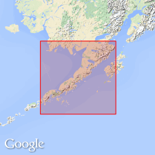
Chisik Conglomerate Member of Naknek Formation geographically extended southwest to Chignik area, Alaska Peninsula, based on lithologic similarity. Reference section designated on mountain just west of 2 small lakes, 3 km west of Lake Ruth, in secs. 26 and 27, T. 30 S., R. 43 W., Ugashik C-1 quadrangle (scale 1:63,360), southwestern Alaska. Section starts on top of mountain, 6.5 km southwest of southernmost arm of Becharof Lake, and continues down east-facing slope to near lake level. Thickness 614 m. Contact with underlying Shelikof Formation not exposed.
Source: Modified from GNU records (USGS DDS-6; Menlo GNULEX).
For more information, please contact Nancy Stamm, Geologic Names Committee Secretary.
Asterisk (*) indicates published by U.S. Geological Survey authors.
"No current usage" (†) implies that a name has been abandoned or has fallen into disuse. Former usage and, if known, replacement name given in parentheses ( ).
Slash (/) indicates name conflicts with nomenclatural guidelines (CSN, 1933; ACSN, 1961, 1970; NACSN, 1983, 2005, 2021). May be explained within brackets ([ ]).