- Usage in publication:
-
- Chinitna shale*
- Modifications:
-
- Named
- Biostratigraphic dating
- Dominant lithology:
-
- Shale
- Sandstone
- Limestone
- AAPG geologic province:
-
- Alaska Southwestern region
Summary:
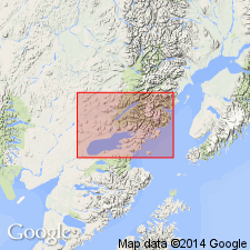
[Probably] named for Chinitna Bay, southwestern AK. Section on north shore of Chinitna Bay is typical of lithologic character of unit. Rocks formerly upper part of "Enochkin formation" [herein abandoned]. Occupies belt from Tuxedni Bay to Iniskin Bay. Consists of shale with subordinate amounts of sandstone and limestone. Thickness ranges from 1300 to 2400 ft. Overlies Tuxedni sandstone. On Chisik Island and east shore of Iniskin Bay underlies Chisik conglomerate. Contains abundance of large cephalopods, especially CADOCERAS. Fauna regarded by T.W. Stanton as indicating boreal facies of Callovian Stage.
Source: GNU records (USGS DDS-6; Menlo GNULEX).
- Usage in publication:
-
- Chinitna formation*
- Modifications:
-
- Areal extent
- Redescribed
- AAPG geologic province:
-
- Alaska Southern region
Summary:
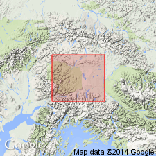
In Nelchina-Susitna region, Chinitna formation is found at head of Little Nelchina River and at several places in upper Matanuska Valley, southern AK. Consists of concretionary sandy shale and some sandstone. Apparently conformably overlies Tuxedni sandstone. Is Middle Jurassic age based on stratigraphic correlation.
Source: GNU records (USGS DDS-6; Menlo GNULEX).
- Usage in publication:
-
- Chinitna siltstone*
- Modifications:
-
- Redescribed
- AAPG geologic province:
-
- Alaska Southwestern region
Summary:
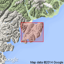
Chinitna shale of previous reports is here called Chinitna siltstone. Consists of approximately 2000 ft of arenaceous siltstone that conformably overlies Tuxedni formation and conformably underlies Chisik member of Naknek formation. Age given as Late Jurassic.
Source: GNU records (USGS DDS-6; Menlo GNULEX).
- Usage in publication:
-
- Chinitna formation*
- Modifications:
-
- Revised
- AAPG geologic province:
-
- Alaska Southwestern region
- Alaska Southern region
Summary:
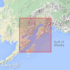
On Iniskin Peninsula, Tonnie member of Tuxedni formation of Kirschner and Minard (1948) is reassigned to Chinitna formation, forming roughly the lower third of formation. Fossils found in Chinitna in Matanuska Valley contain CRANOCEPHALITES and GRYPHAEA IMPRESSIMARGINATA McLearn of Middle Jurassic age. Age of fossils found on Iniskin Peninsula from the unit range from early to late Callovian.
Source: GNU records (USGS DDS-6; Menlo GNULEX).
- Usage in publication:
-
- Chinitna Formation*
- Modifications:
-
- Revised
- Overview
- AAPG geologic province:
-
- Alaska Southwestern region
Summary:
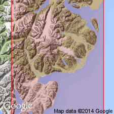
Chinitna Formation is subdivided into (ascending): Tonnie Siltstone Member and Paveloff Siltstone Member (new). Section in bluffs along north shore of Chinitna Bay is retained as type locality. Distribution, lithologic descriptions, lists of fossils and localities, map, stratigraphic section included in report. Age remains Callovian [Late Jurassic in this paper].
Source: GNU records (USGS DDS-6; Menlo GNULEX).
- Usage in publication:
-
- Chinitna Formation*
- Modifications:
-
- Age modified
- AAPG geologic province:
-
- Alaska Southwestern region
Summary:
Correlation chart shows age of unit as Bathonian(?) and Callovian (Middle Jurassic) in Iniskin Bay to Tuxedni Bay, west of Cook Inlet, AK. Here unit unconformably overlies Bowser Formation (of Bathonian age).
Source: GNU records (USGS DDS-6; Menlo GNULEX).
For more information, please contact Nancy Stamm, Geologic Names Committee Secretary.
Asterisk (*) indicates published by U.S. Geological Survey authors.
"No current usage" (†) implies that a name has been abandoned or has fallen into disuse. Former usage and, if known, replacement name given in parentheses ( ).
Slash (/) indicates name conflicts with nomenclatural guidelines (CSN, 1933; ACSN, 1961, 1970; NACSN, 1983, 2005, 2021). May be explained within brackets ([ ]).

