The National Geologic Map Database is migrating to a new infrastructure. We apologize for any service disruptions during this process.
|
|---|


- Usage in publication:
-
- Chimneyhill limestone
- Modifications:
-
- Named
- Dominant lithology:
-
- Limestone
- Oolite
- AAPG geologic province:
-
- Arkoma basin
Summary:
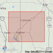
Name proposed for the basal formation (of 4) of Hunton group. Occurs in the Arbuckle Mountains of south-central Oklahoma. Thickness varies from 0 to 53 feet; averages 35 feet. Is divided into three members (in ascending order): oolitic member, 0 to 12 feet thick, averaging 5+ feet; glauconitic member, 0 to 25 feet thick, averaging 15 feet; and a pink-crinoidal member, 0 to 39 feet thick, averaging about 15 feet. The oolitic member consists of a bed of brownish, earthy, crinoidal, oolitic limestone. In the Coal Creek section, a 6 feet thick yellowish shale bed occurs between a 3 to 5 feet [thick] oolite below, and 1 foot [thick] oolite above. The glauconitic member consists of white to gray, granular to crystalline, generally massive bedded limestone, disseminated with green glauconitic grains. The pink-crinoidal member typically consists of a thin-bedded, compact earthy to crystalline limestone with numerous crinoidal fragments, which have been stained pink by infiltrated iron and manganese. Unconformably overlies Sylvan shale; unconformably underlies Henryhouse shale (new) of Hunton. Fossils recovered from the Chimneyhill (anthozoans, brachiopods, gastropods) indicate a marine nearshore depositional environment. Age is Silurian. Report includes table of fossils found in each of the 3 members of the Chimneyhill, and in Hunton group; correlation table.
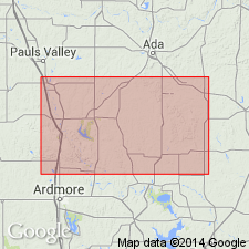
Type locality designated at confluence of three small creeks, in sec. 4, T. 2 N., R. 6 E., Pontotoc Co., OK, in the Arkoma basin. Named from Chimneyhill Creek, which crosses the formation in the northeast corner of Arbuckle Mountains of OK.
Source: Modified from GNU records (USGS DDS-6; Denver GNULEX).
- Usage in publication:
-
- Chimneyhill subgroup [informal]
- Modifications:
-
- Revised
- AAPG geologic province:
-
- Arkoma basin
- South Oklahoma folded belt
Summary:
Chimneyhill subgroup [informal] of Hunton Group. Described from the Arbuckle Mountains, south-central Oklahoma. Includes (ascending): Keel Formation (Llandoverian), Cochrane Formation (Llandoverian), and Clarita Formation (upper Llandoverian and lower Wenlockian). Overlies Sylvan Shale. Unconformably underlies Henryhouse Formation. Age is Early and Middle Silurian (Llandoverian and early Wenlockian). Report includes stratigraphic chart.
["Subgroup" not recognized as a formal stratigraphic rank term (CSN, 1933; ACSN, 1961, 1970; NACSN, 1983, 2005, 2021). Considered informal and should not be capitalized.]
Source: Modified from GNU records (USGS DDS-6; Denver GNULEX).
For more information, please contact Nancy Stamm, Geologic Names Committee Secretary.
Asterisk (*) indicates published by U.S. Geological Survey authors.
"No current usage" (†) implies that a name has been abandoned or has fallen into disuse. Former usage and, if known, replacement name given in parentheses ( ).
Slash (/) indicates name conflicts with nomenclatural guidelines (CSN, 1933; ACSN, 1961, 1970; NACSN, 1983, 2005, 2021). May be explained within brackets ([ ]).