The National Geologic Map Database is migrating to a new infrastructure. We apologize for any service disruptions during this process.
|
|---|


- Usage in publication:
-
- Chikaskia sandstone member
- Modifications:
-
- Original reference
- Dominant lithology:
-
- Sandstone
- Shale
- AAPG geologic province:
-
- Sedgwick basin
Summary:
Pg. 1557. Chikaskia sandstone member of Harper sandstone. Member, 100 to 125 feet thick, is marked by benches of red sandstone separated by red and gray shales; contains numerous geoidal sugary-dolomite concretionary lentils. Overlies Stone Corral member; underlies Kingman sandstone member (new).
[Named from exposures along Chikaskia River, [south-central] KS.]
Source: US geologic names lexicon (USGS Bull. 1200, p. 768).
- Usage in publication:
-
- Chikaskia sandstone member*
- Modifications:
-
- Principal reference
- AAPG geologic province:
-
- Anadarko basin
- Sedgwick basin
Summary:
Pg. 1782-1785. Chikaskia sandstone member of Harper sandstone (restricted) of Nippewalla group (new). Has three-fold character: (1) highly variable sand and shale section at base; (2) a series of bench-forming well-cemented even-bedded red sandstone; (3) white sandstones, dolomite lentils and concretions in red shale. Age is Permian (Leonard Series). Type locality designated. Present in southern Kansas and northern Oklahoma.
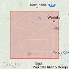
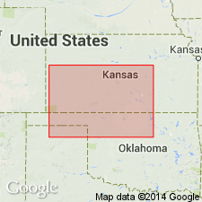
Type locality: in sec. 10, T. 31 S., R. 6 W., Harper Co., south-central KS. Named from exposures along Chickaskia River.
Source: US geologic names lexicon (USGS Bull. 1200, p. 768).
For more information, please contact Nancy Stamm, Geologic Names Committee Secretary.
Asterisk (*) indicates published by U.S. Geological Survey authors.
"No current usage" (†) implies that a name has been abandoned or has fallen into disuse. Former usage and, if known, replacement name given in parentheses ( ).
Slash (/) indicates name conflicts with nomenclatural guidelines (CSN, 1933; ACSN, 1961, 1970; NACSN, 1983, 2005, 2021). May be explained within brackets ([ ]).